Select Item below to DOWNLOAD - Once item is selected, right click and choose 'save as'


ce53253b-46fc-49a4-8bdf-33b52c6b44ff
TMD_King Canyon_Trail split.jpg
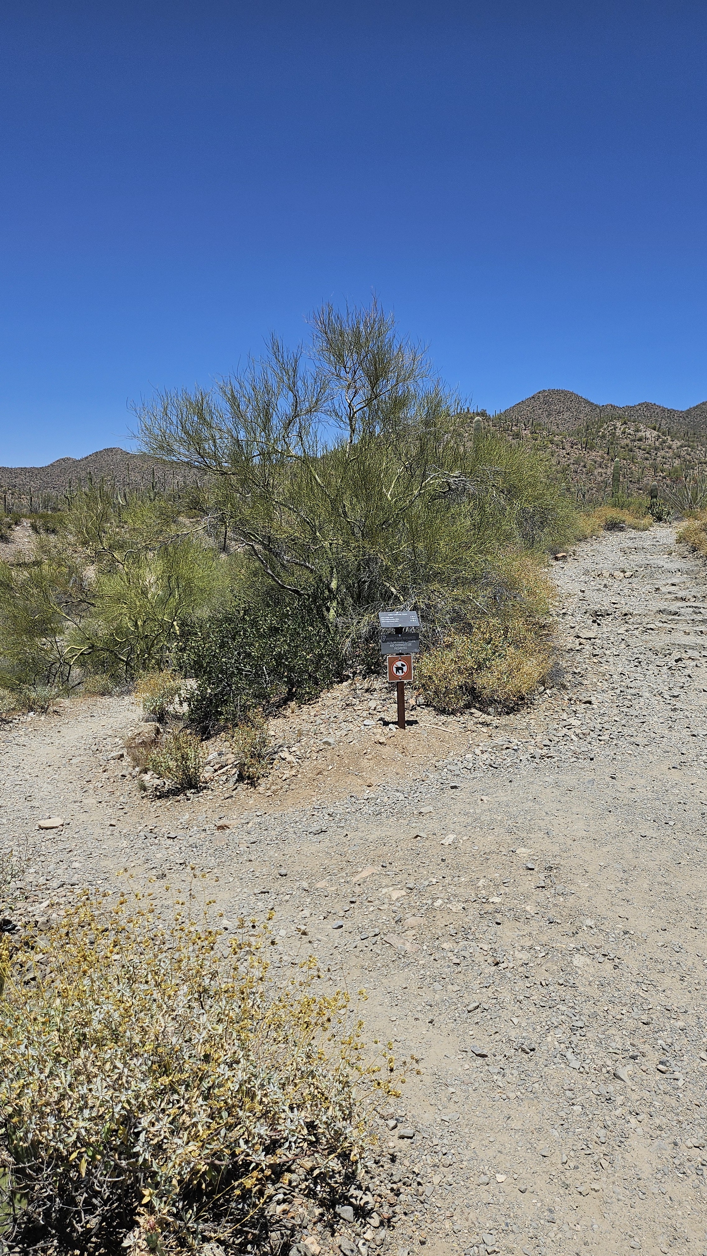
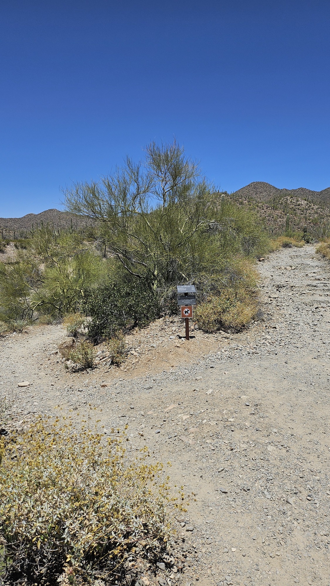
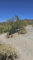
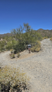
Vertical image. A coarse-dirt trail splits in the middle of the image, to the left is descends into a dry riverbed, to the right is ascends to a hilly trail. Surrounding the trail is dense desert vegetation.
Image shows the split just past the King Canyon trailhead; to the right is the upper King Canyon Trail, and to the left is the King Canyon Wash Trail. Both meet up a mile ahead.
Permission must be secured from the individual copyright owners to reproduce any copyrighted materials contained within this website. Digital assets without any copyright restrictions are public domain.
NPS
Public domain:Full Granting Rights
Image
Saguaro National Park, Code: SAGU
King Canyon Trail, Saguaro National Park, Pima County, Arizona
Latitude: 32.2474495191355, Longitude: -111.167209714759
Latitude: 32.2474495191355, Longitude: -111.167209714759
05/09/2024
05/09/2024
Public Can View
Monday, May 13, 2024 7:16:10 PM
Monday, May 13, 2024 8:05:26 PM
TMD_King Canyon_Trail split.jpg
samsung samsung, Galaxy Z Flip5
1/6836 sec at f / 1.8
5 mm
ISO 50
Thursday, May 9, 2024 12:16:20 PM
jpg
5.6 MB
Scenic