Select Item below to DOWNLOAD - Once item is selected, right click and choose 'save as'


b6ca4b6a-bbd7-4881-9e2e-ab9d526b0fee
TMD_Manville_west access point.jpg
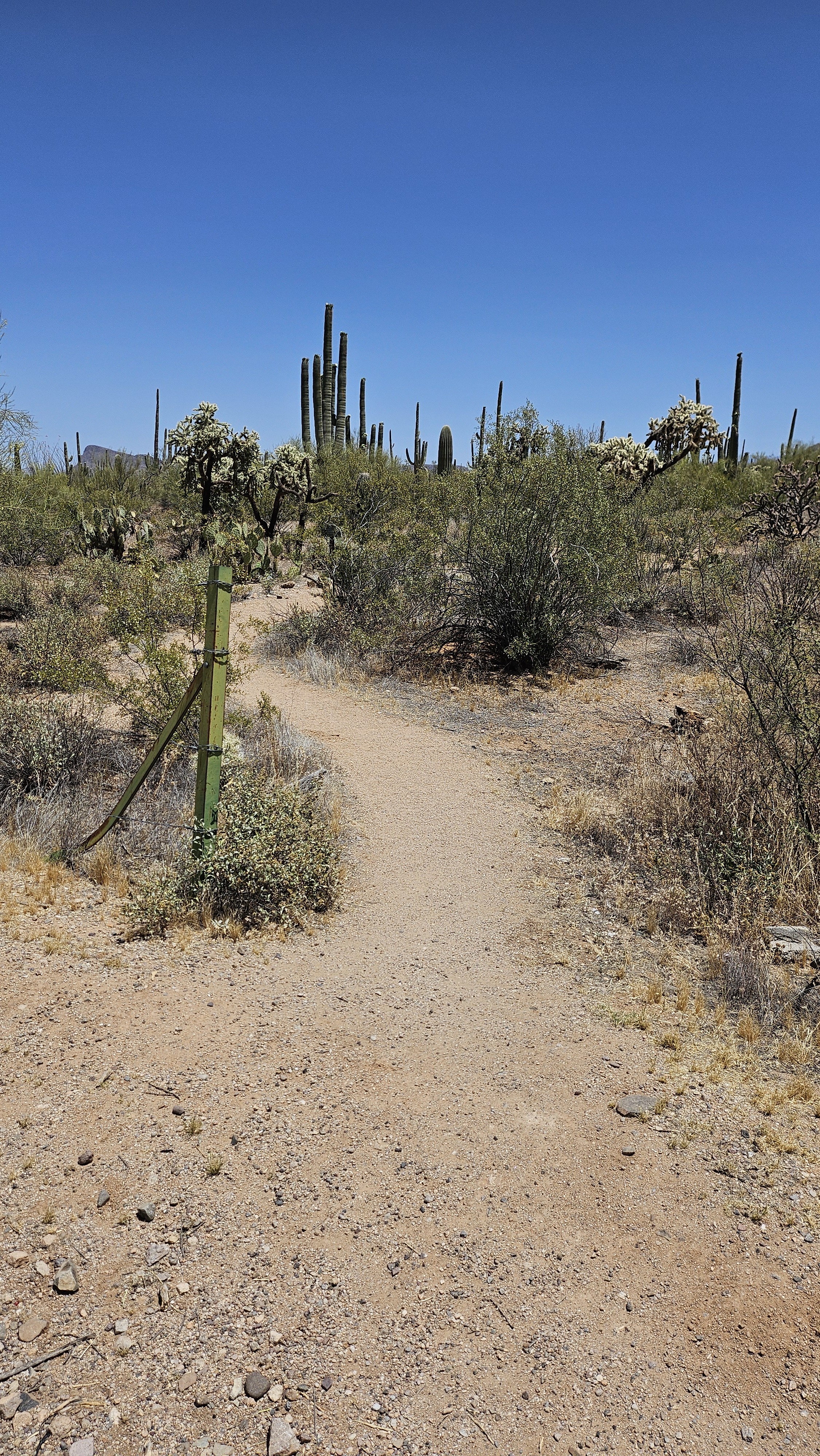
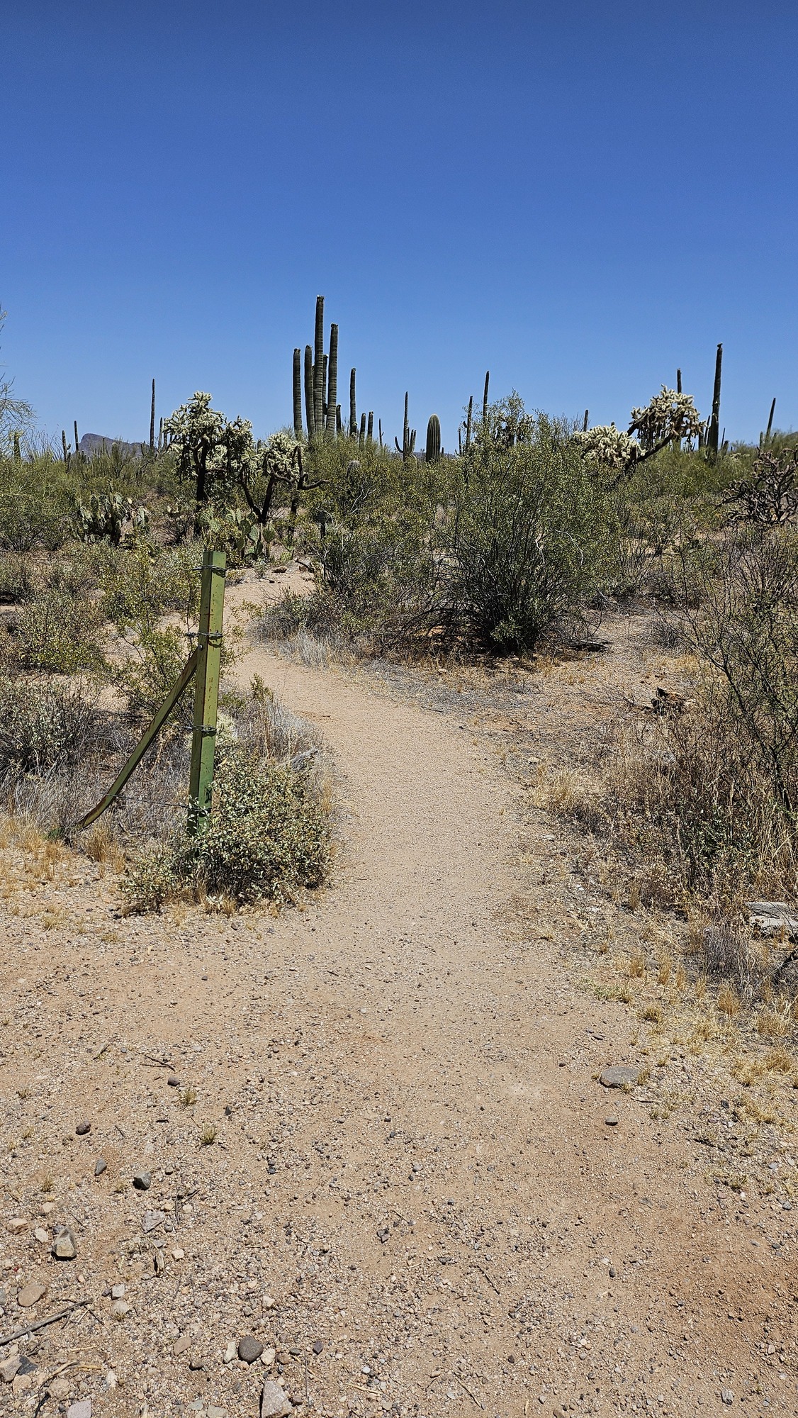
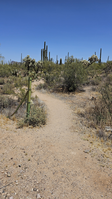
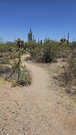
Vertical image. A break along a barbed fence line opens up to lush desert scenery, with a narrow trail winding around cacti and plants.
The access point for Manville trail, along Sandario Rd across from Manville Rd.
Permission must be secured from the individual copyright owners to reproduce any copyrighted materials contained within this website. Digital assets without any copyright restrictions are public domain.
NPS
Public domain:Full Granting Rights
Image
Saguaro National Park, Code: SAGU
East of the intersection of Manville Rd and Sandario Rd., Saguaro National Park, Pima County, Arizona
Latitude: 32.2914995403889, Longitude: -111.218095750439
Latitude: 32.2914995403889, Longitude: -111.218095750439
05/09/2024
05/09/2024
Public Can View
Monday, May 13, 2024 7:16:35 PM
Monday, May 13, 2024 8:05:30 PM
TMD_Manville_west access point.jpg
samsung samsung, Galaxy Z Flip5
1/7609 sec at f / 1.8
5 mm
ISO 50
Thursday, May 9, 2024 12:03:42 PM
jpg
5.9 MB
Scenic