Select Item below to DOWNLOAD - Once item is selected, right click and choose 'save as'


b0bd4484-d22c-4fec-9b20-2e1d73ce673c
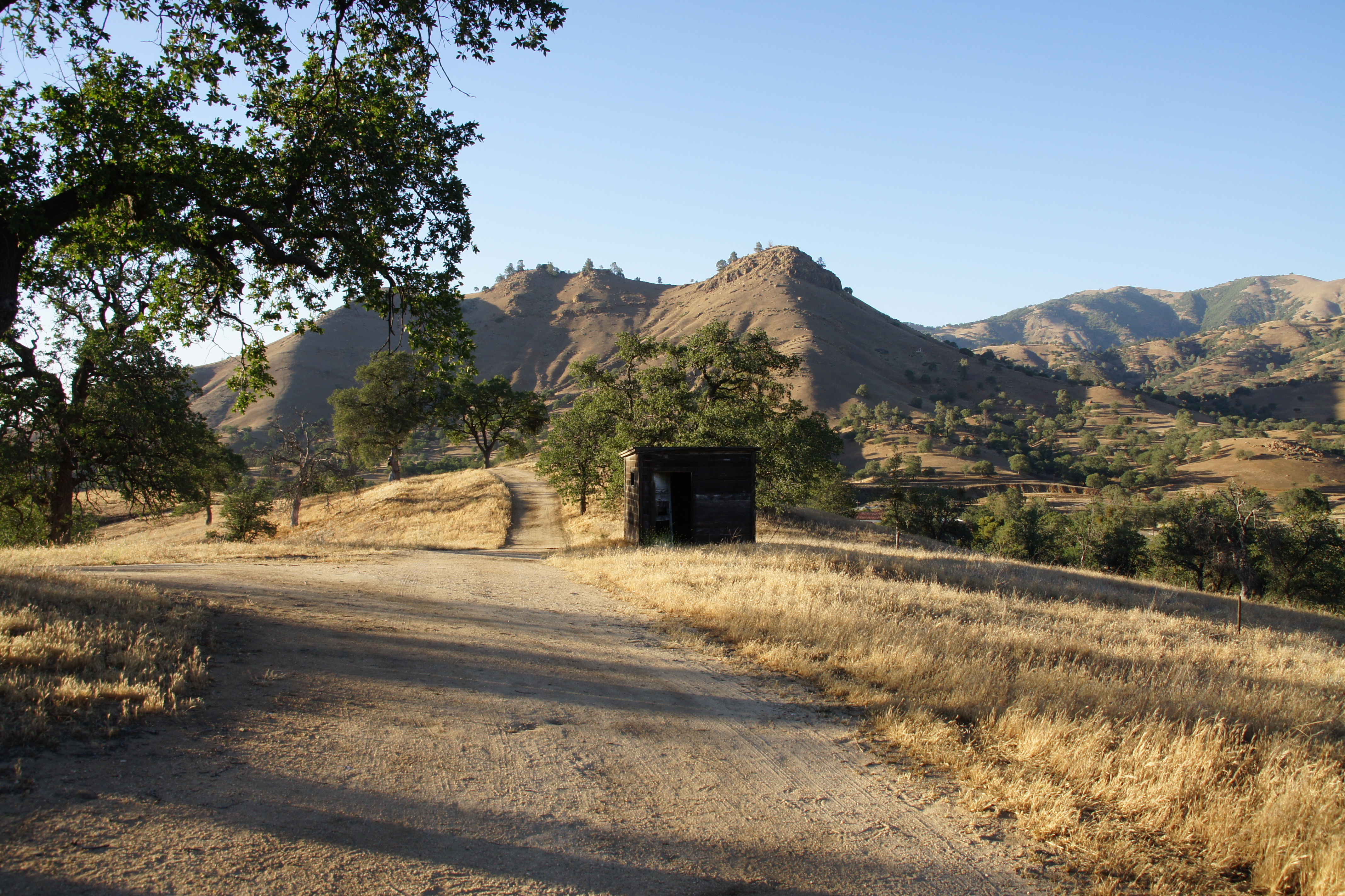
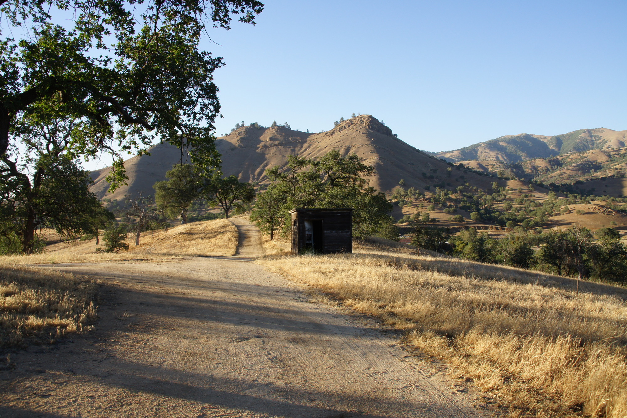
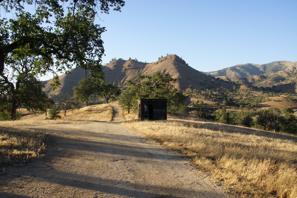
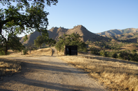
The Path To Cesar's Vista Point
Three rounded peaks can be seen in the distance. Dry grasses and a dirt path in the foreground.
Cesar Chavez would often walk the trails to this location to enjoy the views and the peacefulness.
Permission must be secured from the individual copyright owners to reproduce any copyrighted materials contained within this website. Digital assets without any copyright restrictions are public domain.
NPS Photo
Public domain:Full Granting Rights
Image
Cesar E. Chavez National Monument, Code: CECH
Cesar E. Chavez National Monument, Kern County, California
Latitude: 35.2239837646484, Longitude: -118.558891296387
Latitude: 35.2239837646484, Longitude: -118.558891296387
05/30/2013
05/30/2013
Public Can View
Wednesday, January 13, 2021 5:11:16 PM
Wednesday, January 13, 2021 5:11:16 PM
DSC02730 - Diane.JPG
SONY SONY, DSLR-A500
1/125 sec at f / 10
18 mm
ISO 200
Friday, May 31, 2013 2:06:43 AM
jpg
7.3 MB
Scenic