Select Item below to DOWNLOAD - Once item is selected, right click and choose 'save as'


85c6a071-7c71-48fd-9225-eedf3bd2d9eb
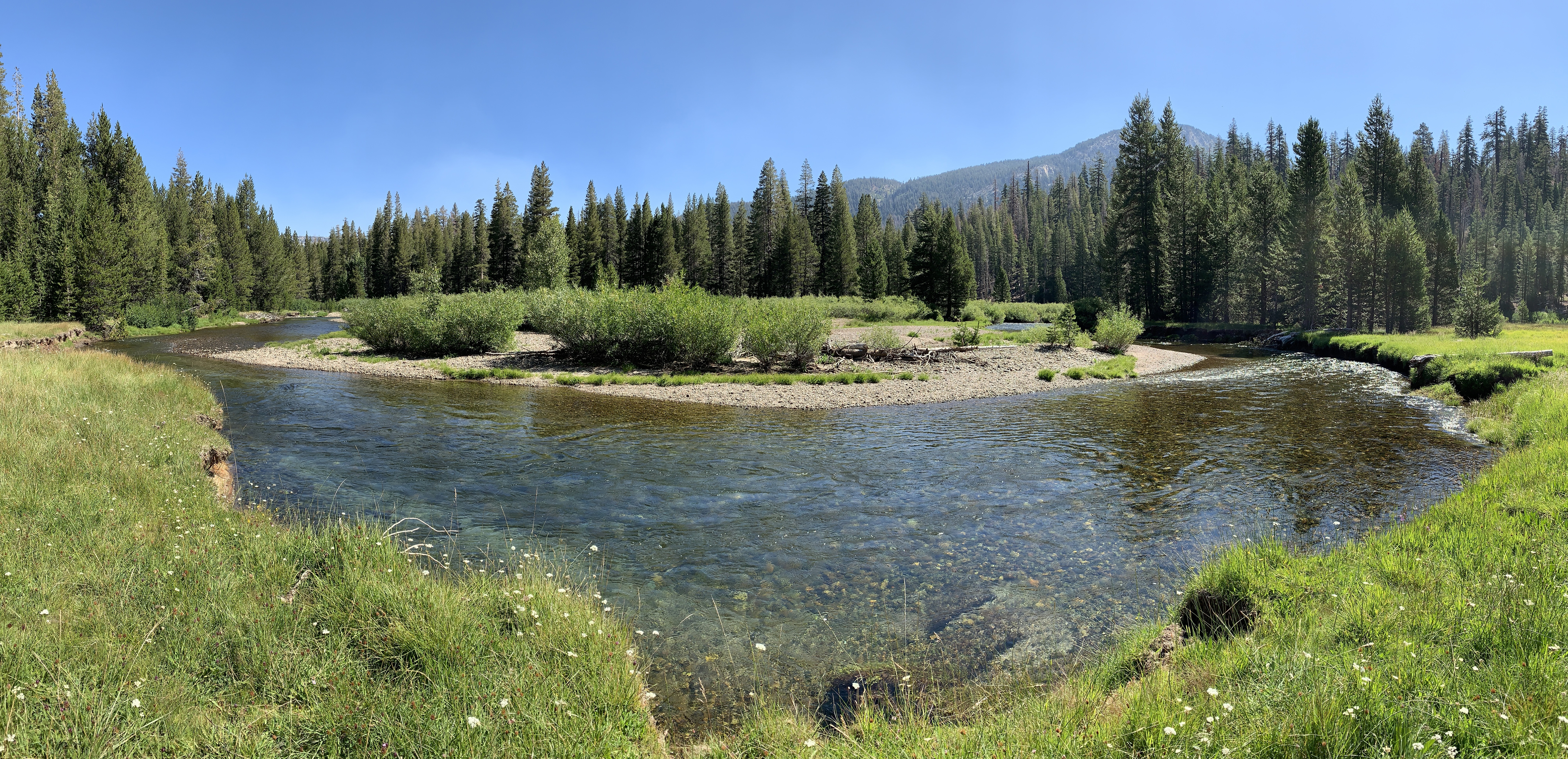
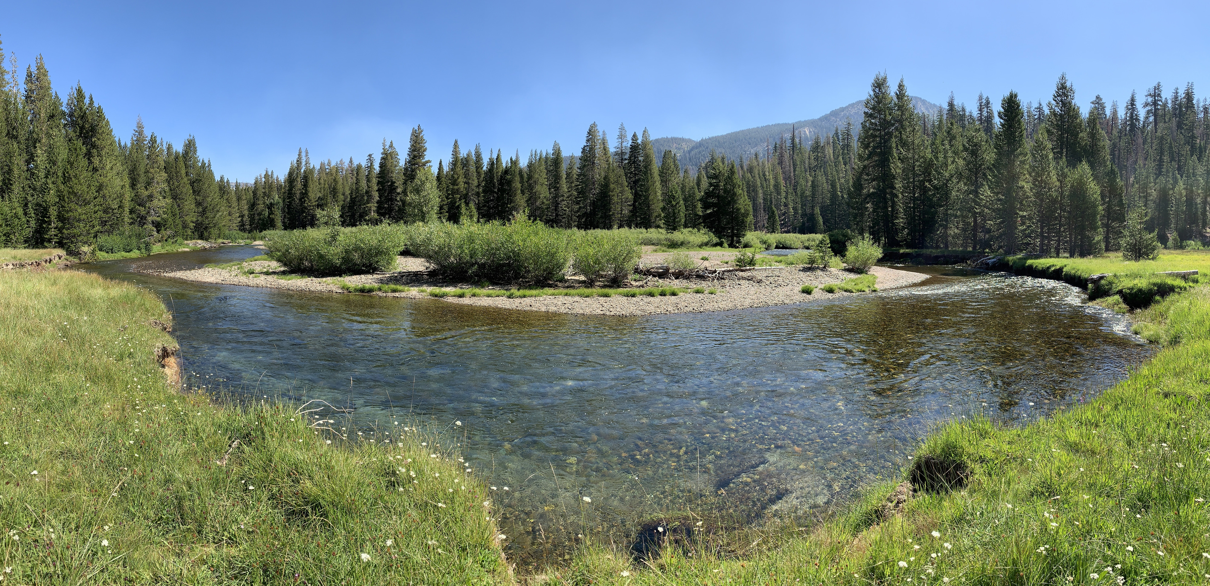
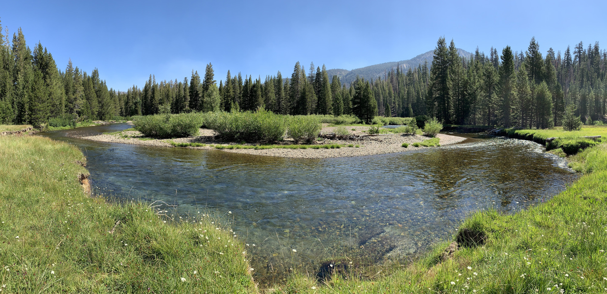
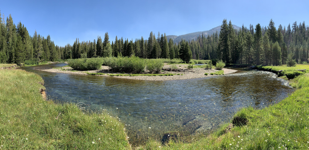
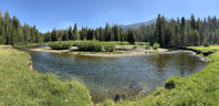
View of large bend in Middle Fork of the San Joaquin River, Devils Postpile National Monument, Aug 2019.
View of large bend in river from river bank green with grasses and sedges toward a rocky, shrubby area on opposite side.
View of large bend in river from river bank green with grasses and sedges toward a rocky, shrubby area on opposite side.
U.S. National Park Service, Sierra Nevada Network
This digital asset is in the public domain. When using this asset for any purpose, including online, credit: 'Courtesy U.S. National Parks'
Public domain
Image
Devils Postpile National Monument, Code: DEPO
Middle Fork of the San Joaquin River, Devils Postpile National Monument
Devils Postpile National Monument, Madera County, California
Latitude: 37.6152992248535, Longitude: -119.08699798584
Devils Postpile National Monument, Madera County, California
Latitude: 37.6152992248535, Longitude: -119.08699798584
2019-08-20
08/20/2019
Public Can View
Organization: Sierra Nevada Network
Position: Science Communication Specialist
Address: Sequoia and Kings Canyon National Parks, 47050 Generals Highway, Three Rivers, CA 93271
Position: Science Communication Specialist
Address: Sequoia and Kings Canyon National Parks, 47050 Generals Highway, Three Rivers, CA 93271
Thursday, December 22, 2022 3:55:19 PM
Thursday, December 22, 2022 3:55:19 PM
SanJoaquin2_DEPO_AEddy_20190820.jpg
jpg
21.3 MB
Monitoring