Select Item below to DOWNLOAD - Once item is selected, right click and choose 'save as'


4e702ae1-631f-40c8-a022-ece2f56de9b3
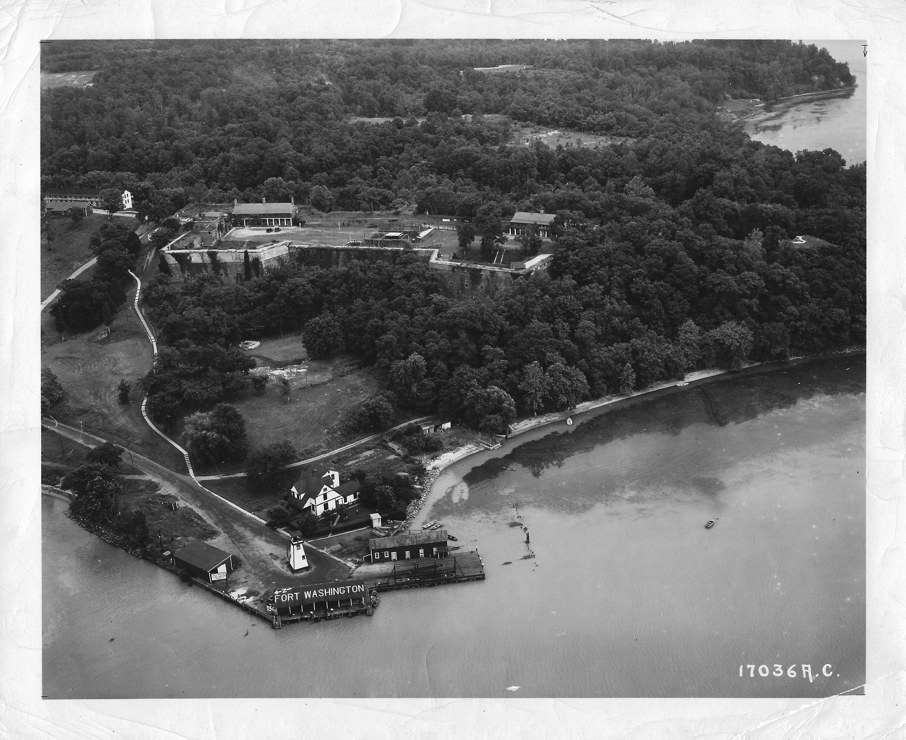
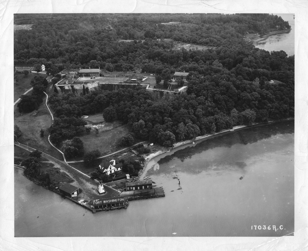
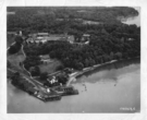
Aerial view of Fort Washington
Photo shows the dock and lighthouse area. The lighthouse keepers quarters is behind the lighthouse. The fort is surrounded by heavy tree coverage, with several trees growing out of the southwest demi-bastion. A small area of PIscataway Creek can be seen to the right of the photo.
Landscape of the docks and fort area.
Air Force Photo
Headquarters, U.S.A.F.
Wash. D.C.
17036 A.C.
Permission must be secured from the individual copyright owners to reproduce any copyrighted materials contained within this website. Digital assets without any copyright restrictions are public domain.
U.S.A.F Photo
Public domain:Full Granting Rights
Image
Fort Washington Park, Code: FOWA
Fort Washington Park, Prince George's County, Maryland
Latitude: 38.7122001647949, Longitude: -77.0287017822266
Latitude: 38.7122001647949, Longitude: -77.0287017822266
unknown date
07/11/2020
Public Can View
Sunday, July 12, 2020 11:03:55 AM
Sunday, July 12, 2020 11:03:55 AM
scan0429.jpg
Saturday, July 11, 2020 10:08:05 PM
jpg
838.9 kB
Scenic