Select Item below to DOWNLOAD - Once item is selected, right click and choose 'save as'
4bb3b9f0-136c-44fe-a24e-e515d3c3fe10
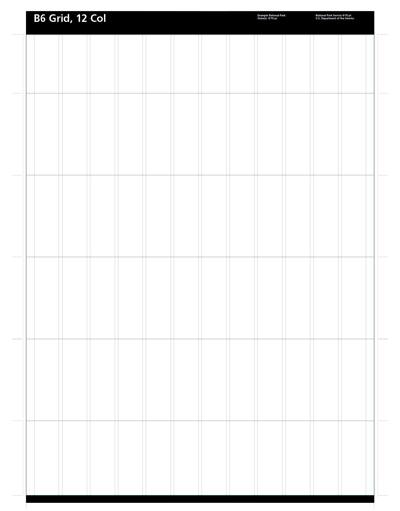
Unigrid B-width brochure starter map
Document with faint gray lines creating six rows and twelve columns. The page has a black band across the top and bottom. White text along the top reads, “B6 Grid, 12 col” in large letters to the left.
Adobe print production files can be downloaded from the Compressed zip Version link
Map Projection: Other; Map Type: other
U.S. National Park Service
The National Park Service maps are government produced and are in the public domain. Anyone may, without restriction under U.S. copyright laws: Reproduce the work in print or digital form; Create derivative works; Perform the work publicly; Display the work; Distribute copies or digitally transfer the work to the public by sale or other transfer of ownership, or by rental, lease, or lending. Please note, a user who modifies and/or republishes National Park Service maps are responsible for any problems encountered with the maps, due to their change or modification.
Public domain
Document
NPS-wide, Code: NPS
Harpers Ferry Center, Code: HFC
Harpers Ferry Center, Code: HFC
NPS-wide, Harpers Ferry Center, Jefferson County, West Virginia
Latitude: 39.3233108520508, Longitude: -77.7410736083984
Latitude: 39.3233108520508, Longitude: -77.7410736083984
2022-08-18
Public Can View
Person: Harpers Ferry Center
Organization: US National Park Service
Address: Harpers Ferry Center, Harpers Ferry, WV
Email: HFC_Cartography@nps.gov
Organization: US National Park Service
Address: Harpers Ferry Center, Harpers Ferry, WV
Email: HFC_Cartography@nps.gov
Tuesday, August 23, 2022 4:59:16 PM
Friday, September 26, 2025 11:34:02 PM
B_Grid_startermap.zip
zip
1.4 MB
Map