Select Item below to DOWNLOAD - Once item is selected, right click and choose 'save as'

372a38c8-cbad-477f-9c80-dda96c540f08
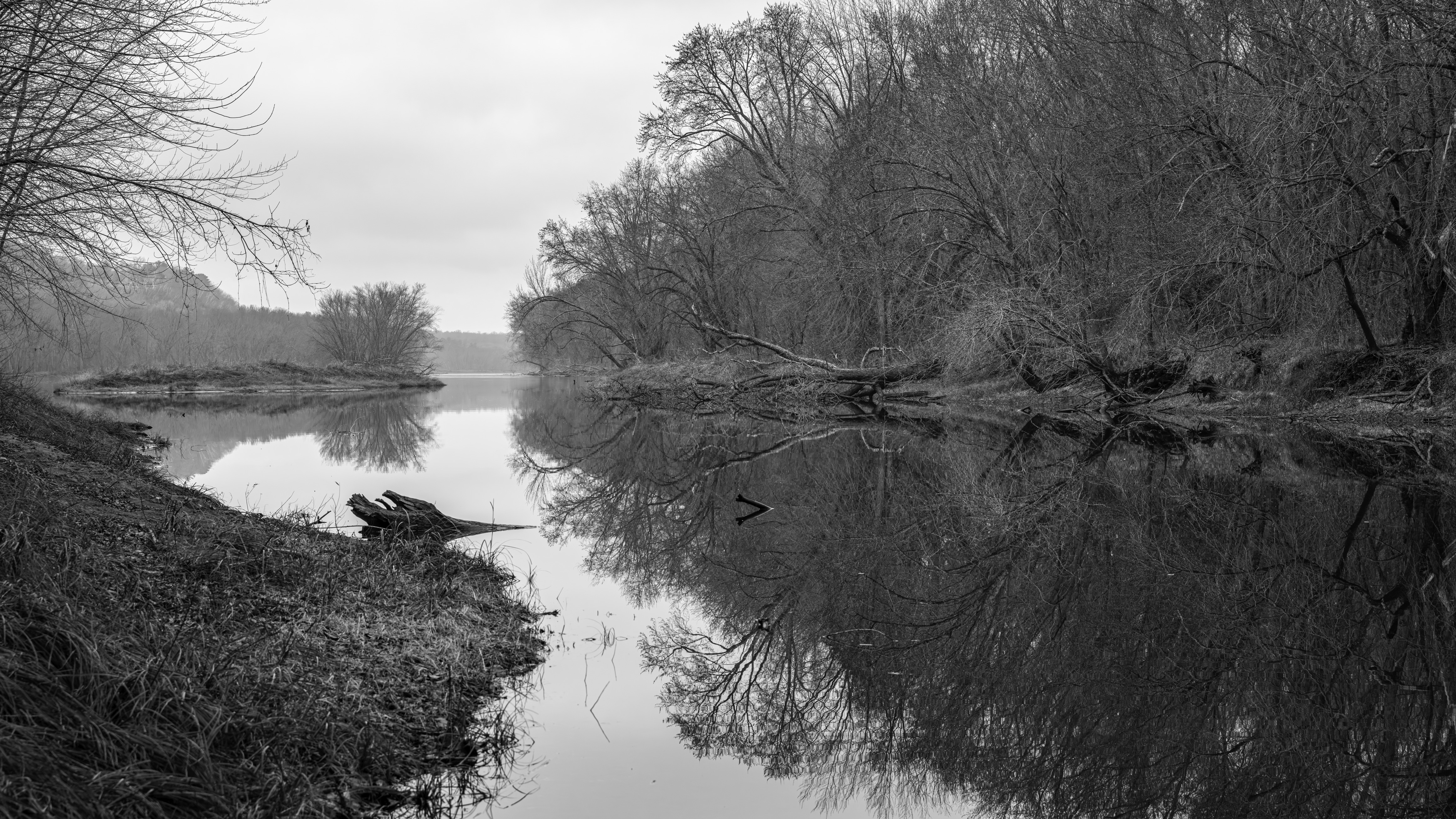
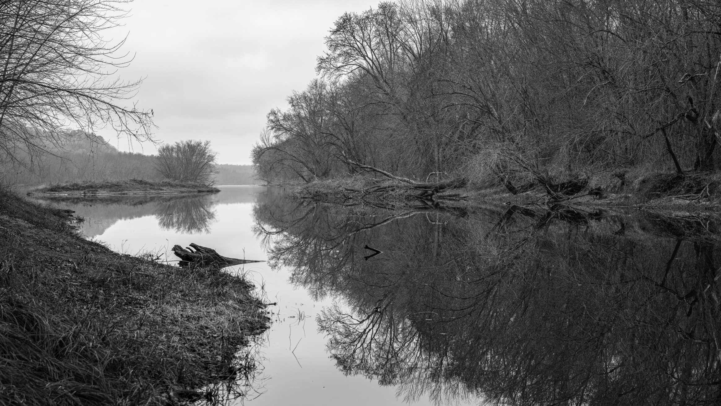
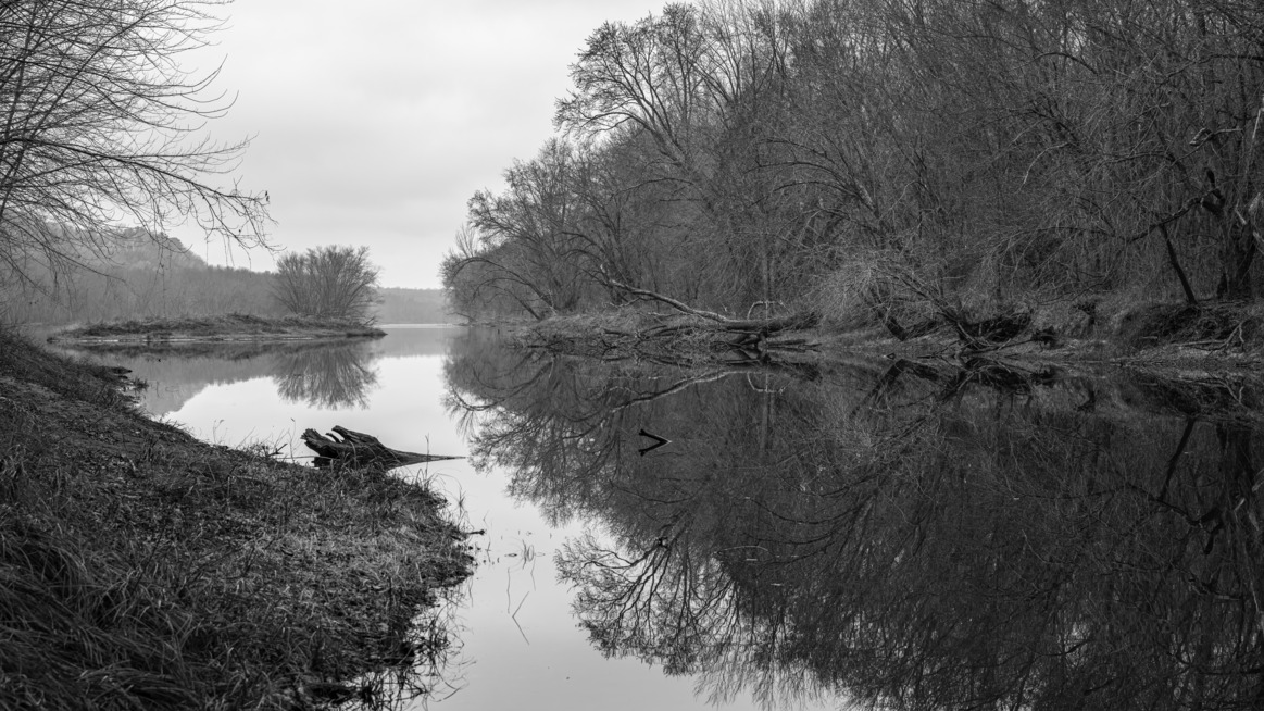
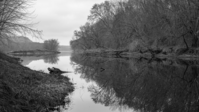
Backwater Push
If read from right to left, one first encounters a wall of trees over a river. Moving to the left, it becomes evident that the water first seen is a tributary that feeds into a larger body of water that fades into the distance.
A view down stream from a small tributary lined with trees.
Permission must be secured from the individual copyright owners to reproduce any copyrighted materials contained within this website. Digital assets without any copyright restrictions are public domain.
NPS / Pete Wintersteen
Public domain:Full Granting Rights
Image
Saint Croix National Scenic Riverway, Code: SACN
Saint Croix National Scenic Riverway
Latitude: 46.0292701721191, Longitude: -92.0173568725586
Latitude: 46.0292701721191, Longitude: -92.0173568725586
Public Can View
Friday, December 6, 2024 4:17:17 PM
Friday, December 6, 2024 4:25:40 PM
Backwater Push.png
png
60.0 MB
Scenic