Select Item below to DOWNLOAD - Once item is selected, right click and choose 'save as'


350f43db-adcf-4075-a2de-22613a59bdaf
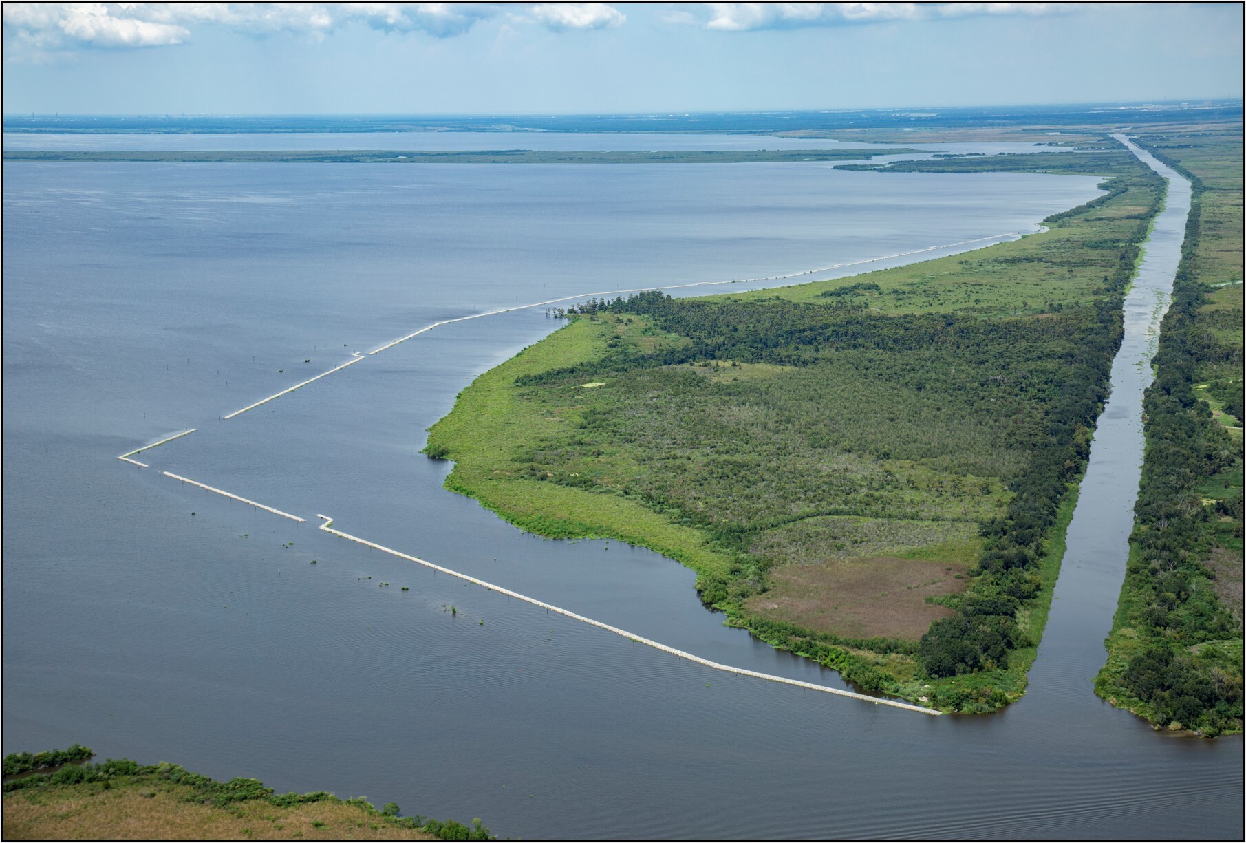
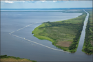
Jean Lafitte National Historic Park and Preserve Shoreline
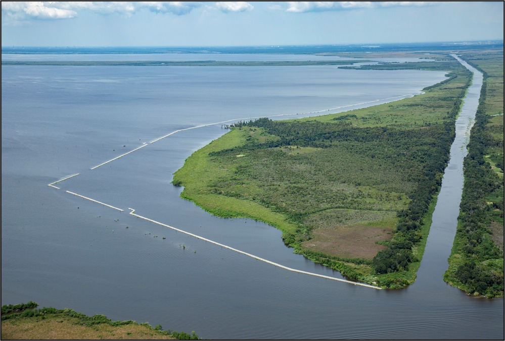
An aerial view of Jean Lafitte National Historic Park and Preserve Shoreline featuring green earth surrounded by a water - a canal on the left side and open water on the right and foreground.
Jean Lafitte National Historic Park and Preserve Shoreline
Permission must be secured from the individual copyright owners to reproduce any copyrighted materials contained within this website. Digital assets without any copyright restrictions are public domain.
NPS
Public domain:Full Granting Rights
Image
Jean Lafitte National Historical Park and Preserve, Code: JELA
Jean Lafitte National Historical Park and Preserve, Louisiana
Latitude: 29.8020095825195, Longitude: -90.1701812744141
Latitude: 29.8020095825195, Longitude: -90.1701812744141
01/01/0001
Public Can View
Thursday, February 6, 2025 10:41:48 PM
Thursday, February 6, 2025 11:02:41 PM
Jean Lafitte National Historic Park and Preserve Shoreline.jpg
Monday, January 1, 0001 12:00:00 AM
jpg
490.1 kB
Scenic