Select Item below to DOWNLOAD - Once item is selected, right click and choose 'save as'

33cb493f-63c3-4db9-b007-c9349733f9a9
Cover
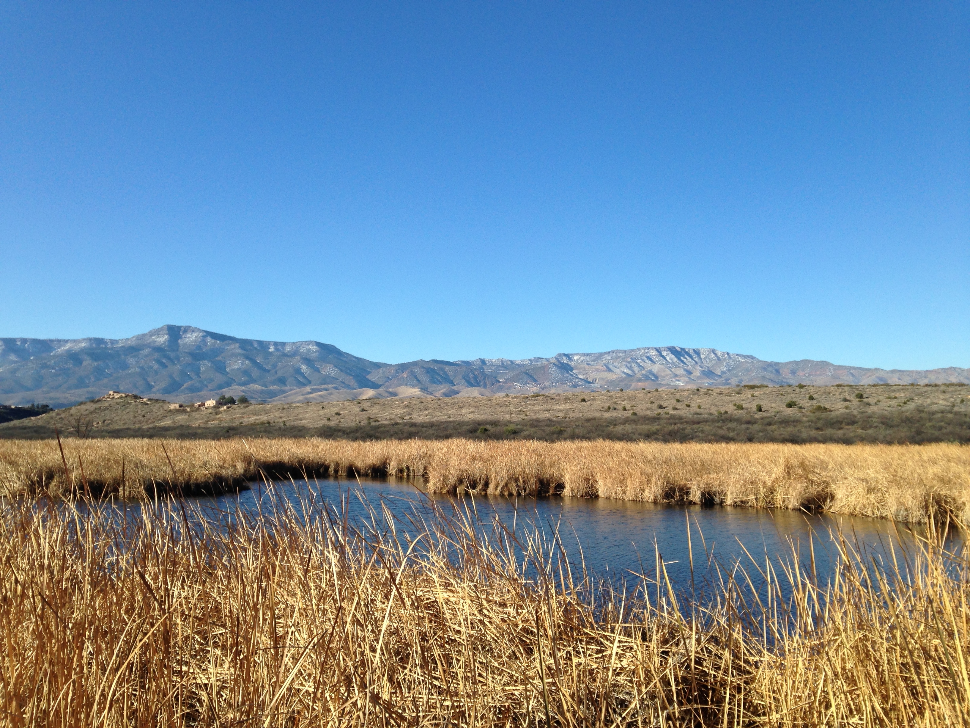
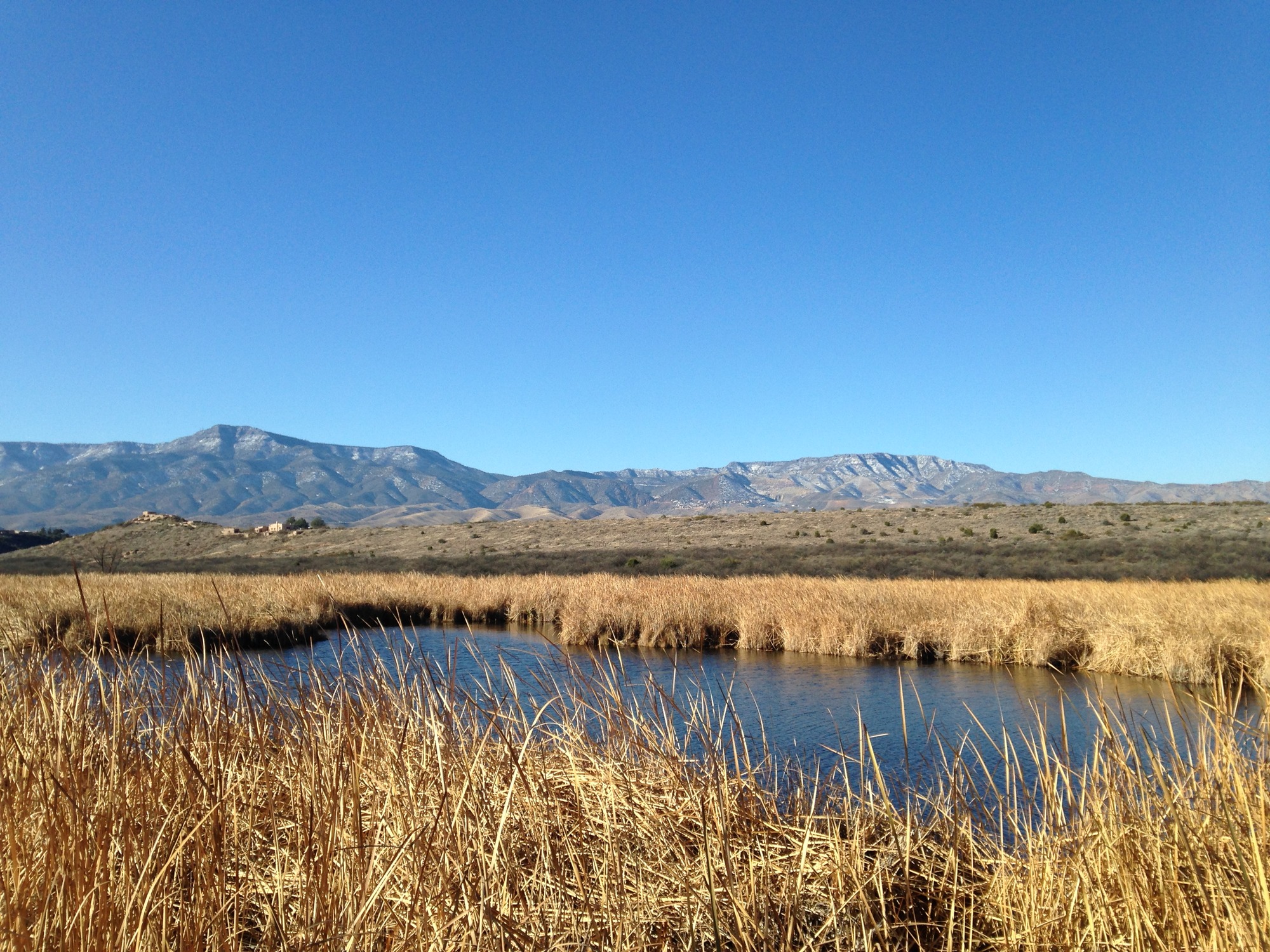
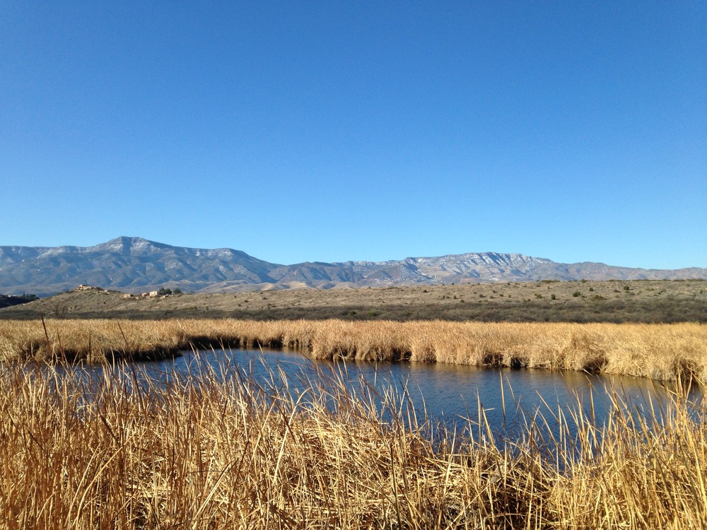
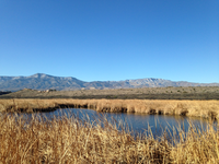
Photograph of Tuzigoot landscape. Brown grassy plains with some open water in the foreground, hills with pueblo structures in the middle distance, and mountains rising in the distance. Clear blue sky completes the scene.
Photograph of the Tuzigoot landscape. This view, looking west towards the Black Hills, shows the hilltop pueblo in the monument (left-hand side of the photograph in the middle ground) and an open-water section of Tavasci Marsh. The town of Jerome is in the foothills (right-hand side of the photograph in the background).
Permission must be secured from the individual copyright owners to reproduce any copyrighted materials contained within this website. Digital assets without any copyright restrictions are public domain.
NPS photograph available at https://www.nps.gov/tuzi/learn/photosmultimedia/photogallery.htm
Public domain:Full Granting Rights
Image
Tuzigoot National Monument, Code: TUZI
Tuzigoot National Monument, Yavapai County, Arizona
Latitude: 34.7729988098145, Longitude: -112.02799987793
Latitude: 34.7729988098145, Longitude: -112.02799987793
12/16/2015
12/16/2015
Public Can View
Wednesday, July 7, 2021 6:23:54 PM
Wednesday, July 7, 2021 6:23:54 PM
_cover_Tavasci Marsh_315D0016-1DD8-B71B-0BB310736E8F219A.JPG
Apple Apple, iPhone 5c 50, iPhone 5c back camera 4.12mm f/2.4
1/1466 sec at f / 2.4
4.12 mm
ISO 50
Wednesday, December 16, 2015 5:19:28 PM
jpg
3.3 MB
Scenic