Select Item below to DOWNLOAD - Once item is selected, right click and choose 'save as'


2f67b150-644d-4bef-b2bb-45022d6d88dd
A Ranger-Led "Hike Through Time" Program
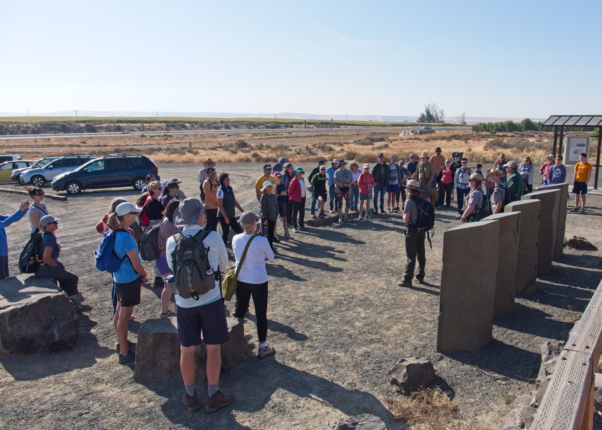
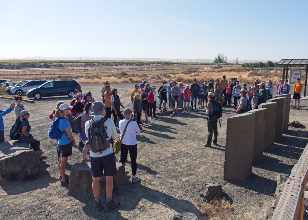
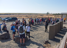
Three uniformed rangers stand surrounded by about fifty participants in a gravel lot trailhead with dried grass fields extending to the horizon.
Rangers share the major periods of human history and how the Ice Age floods shaped the Tri-Cities region on the Hike Through Time ranger-led program up Candy Mountain. Check the Manhattan Project National Historical Park’s website and calendar for information about upcoming ranger programs.
Unrestricted approval for use by the National Park Service and Friends of Badger Mountain organizations
Permission must be secured from the individual copyright owners to reproduce any copyrighted materials contained within this website. Digital assets without any copyright restrictions are public domain.
NPS/Zimmerman
Public domain:Full Granting Rights
Image
Manhattan Project National Historical Park, Code: MAPR
Manhattan Project National Historical Park
Latitude: 35.8809471130371, Longitude: -106.301979064941
Latitude: 35.8809471130371, Longitude: -106.301979064941
10/15/2022
10/15/2022
Public Can View
NPS/Zimmerman
Thursday, July 31, 2025 8:07:45 PM
Thursday, July 31, 2025 8:08:31 PM
MAPRHAN_001_A1_HikeThroughTime_20230506_1.jpg
1/480 sec at f / 8
18 mm
ISO 200
Saturday, October 15, 2022 12:05:31 PM
jpg
799.1 kB
Scenic