Select Item below to DOWNLOAD - Once item is selected, right click and choose 'save as'

295bce04-0351-4da5-b108-1672f483d551
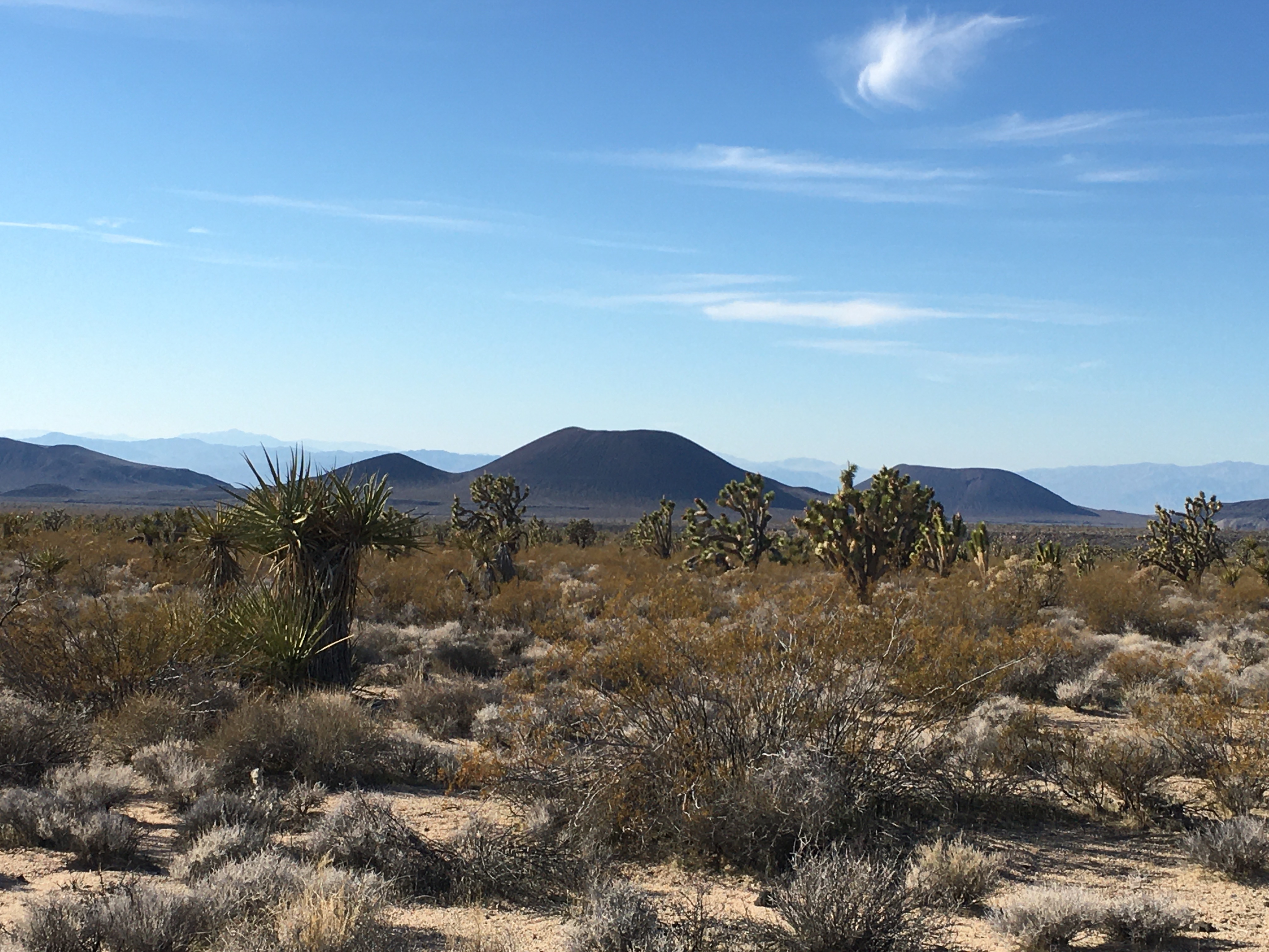
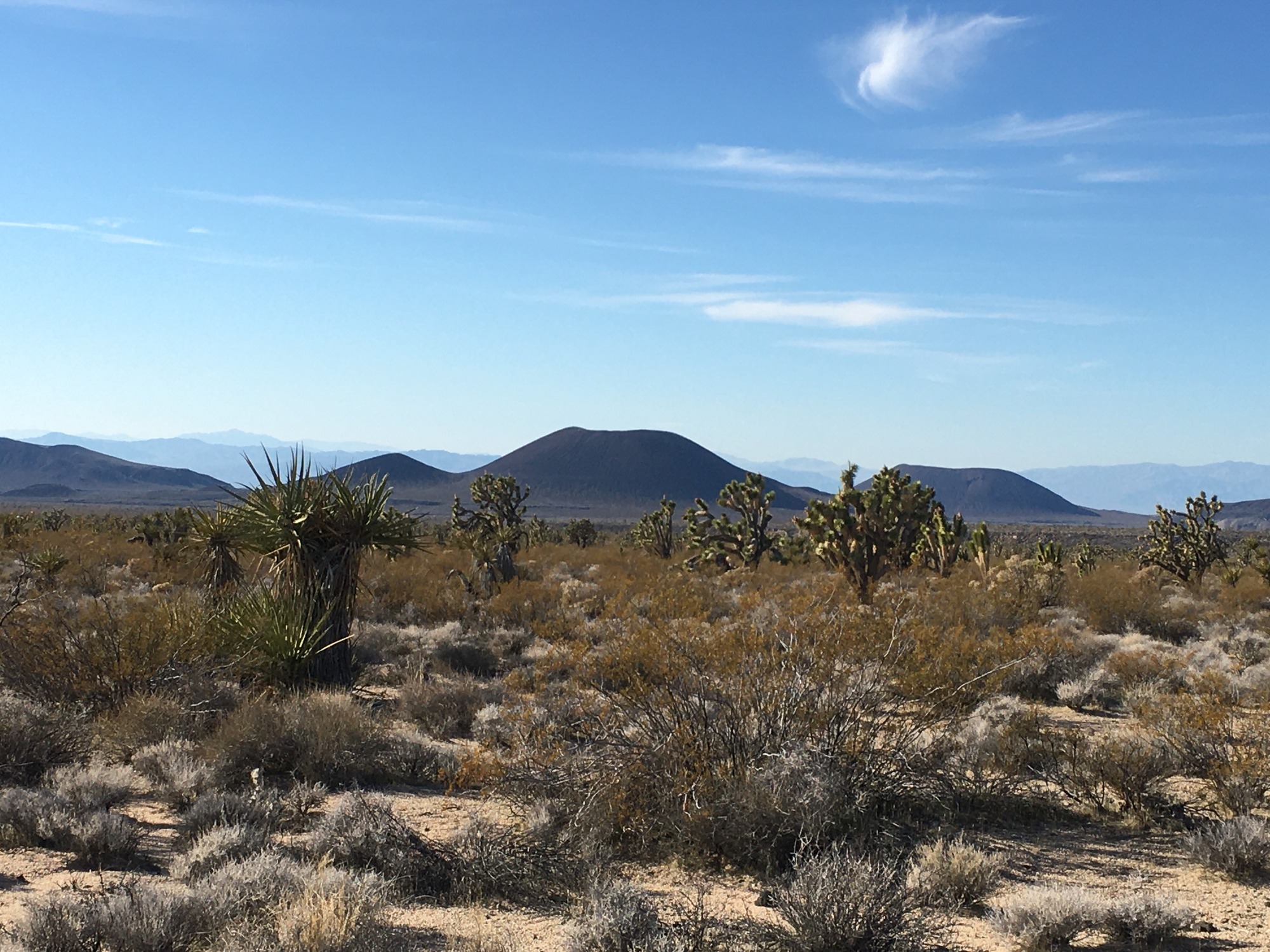
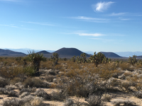
Scenic view of Cinder Cone volcanic field
Some cinder cone volcanoes stand behind a mix of desert greenery, including creosote, Mojave yucca, and Joshua tree.
Some cinder cone volcanoes stand behind a mix of desert greenery, including creosote, Mojave yucca, and Joshua tree. The cinder cone volcanoes are visible on Kelbaker road north, about 10 miles south of Baker. Approximately 40 volcanoes and associated lava flows can be found here. The easiest way to access the cinder cones is to drive along Aiken Mine road. You can drive until you reach the lava tube (approx. 5 miles) or pull over at a primitive campsite along the road and continue on foot.
Permission must be secured from the individual copyright owners to reproduce any copyrighted materials contained within this website. Digital assets without any copyright restrictions are public domain.
NPS
Public domain:Full Granting Rights
Image
Mojave National Preserve, Code: MOJA
Mojave National Preserve, San Bernardino County, California
Latitude: 35.114200592041, Longitude: -115.514999389648
Latitude: 35.114200592041, Longitude: -115.514999389648
01/22/2020
01/22/2020
Public Can View
Sunday, December 27, 2020 1:16:25 PM
Sunday, December 27, 2020 1:16:25 PM
volcano vista_michel.JPG
Apple Apple, iPhone 6s 25, iPhone 6s back camera 4.15mm f/2.2
1/1603 sec at f / 2.2
4.15 mm
ISO 25
Wednesday, January 22, 2020 9:31:31 PM
jpg
2.2 MB
Scenic