Select Item below to DOWNLOAD - Once item is selected, right click and choose 'save as'


1da8a37b-481c-4786-b149-b0f66708f4ae
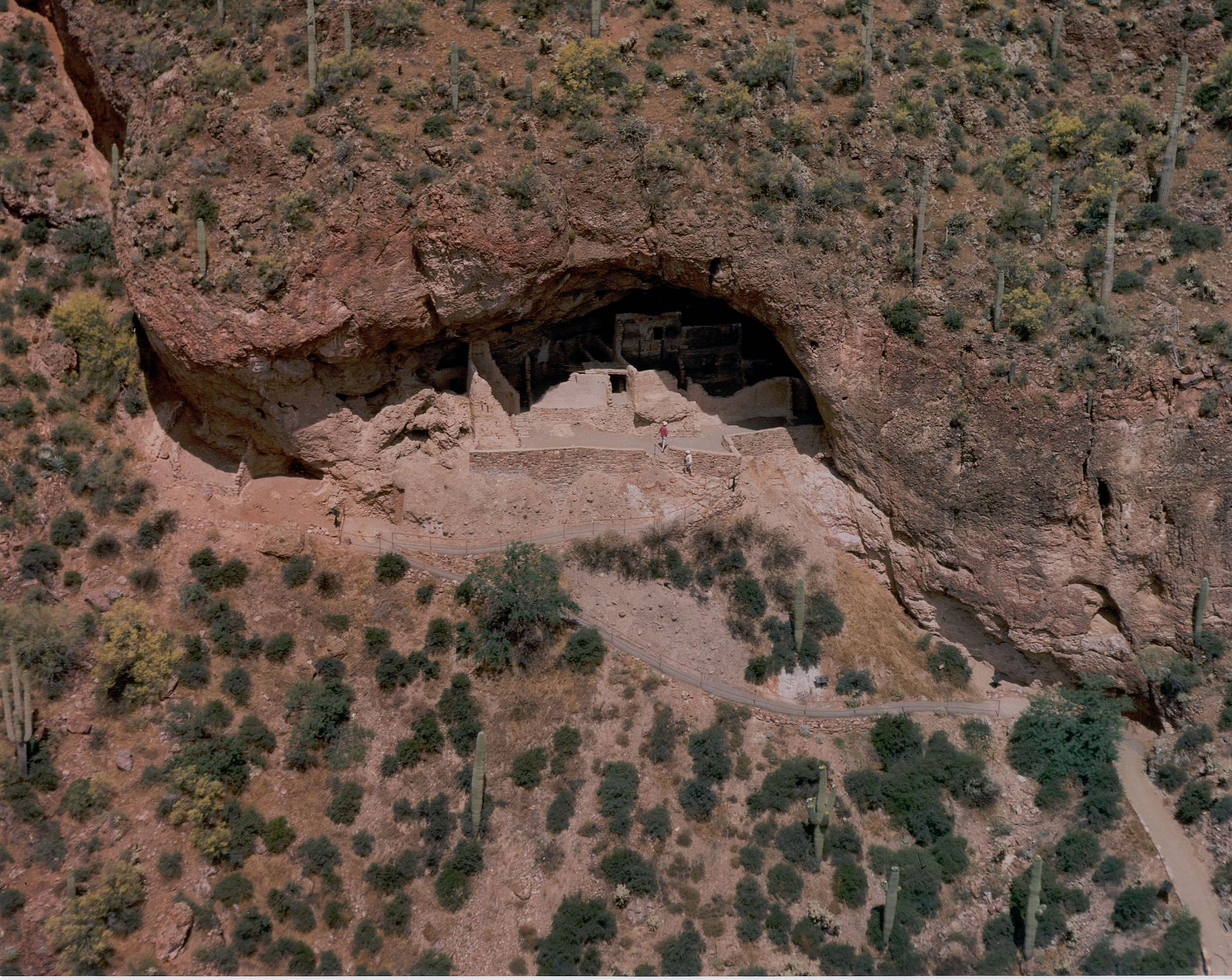
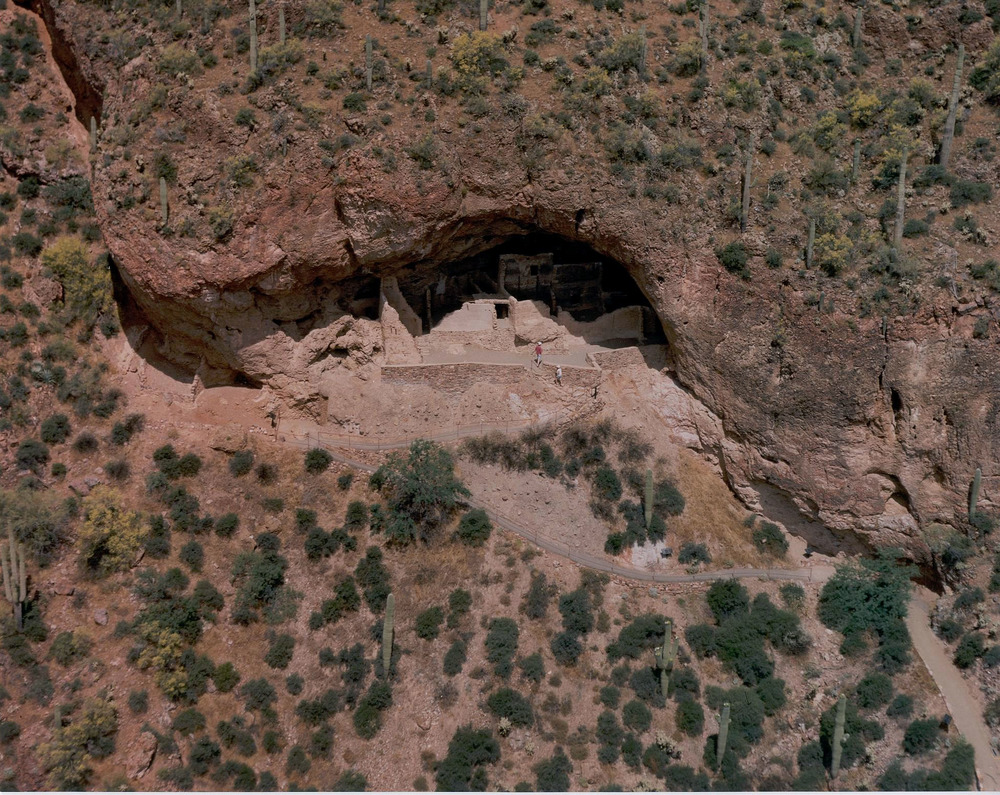
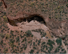
Aerial View of the Lower Cliff Dwelling
Aerial View of the Lower Cliff Dwelling
Aerial View of the Lower Cliff Dwelling
Permission must be secured from the individual copyright owners to reproduce any copyrighted materials contained within this website. Digital assets without any copyright restrictions are public domain.
NPS Photo
Public domain:Full Granting Rights
Image
Tonto National Monument, Code: TONT
Tonto National Monument, Gila County, Arizona
Latitude: 33.6483993530273, Longitude: -111.113998413086
Latitude: 33.6483993530273, Longitude: -111.113998413086
01/01/2001
Public Can View
Wednesday, March 6, 2019 4:49:23 PM
Wednesday, March 6, 2019 4:49:23 PM
LCDaerial.jpg
Monday, January 1, 0001 12:00:00 AM
jpg
668.3 kB
Scenic