Select Item below to DOWNLOAD - Once item is selected, right click and choose 'save as'



125d8903-133a-4021-a02f-fa665e8f1ccd
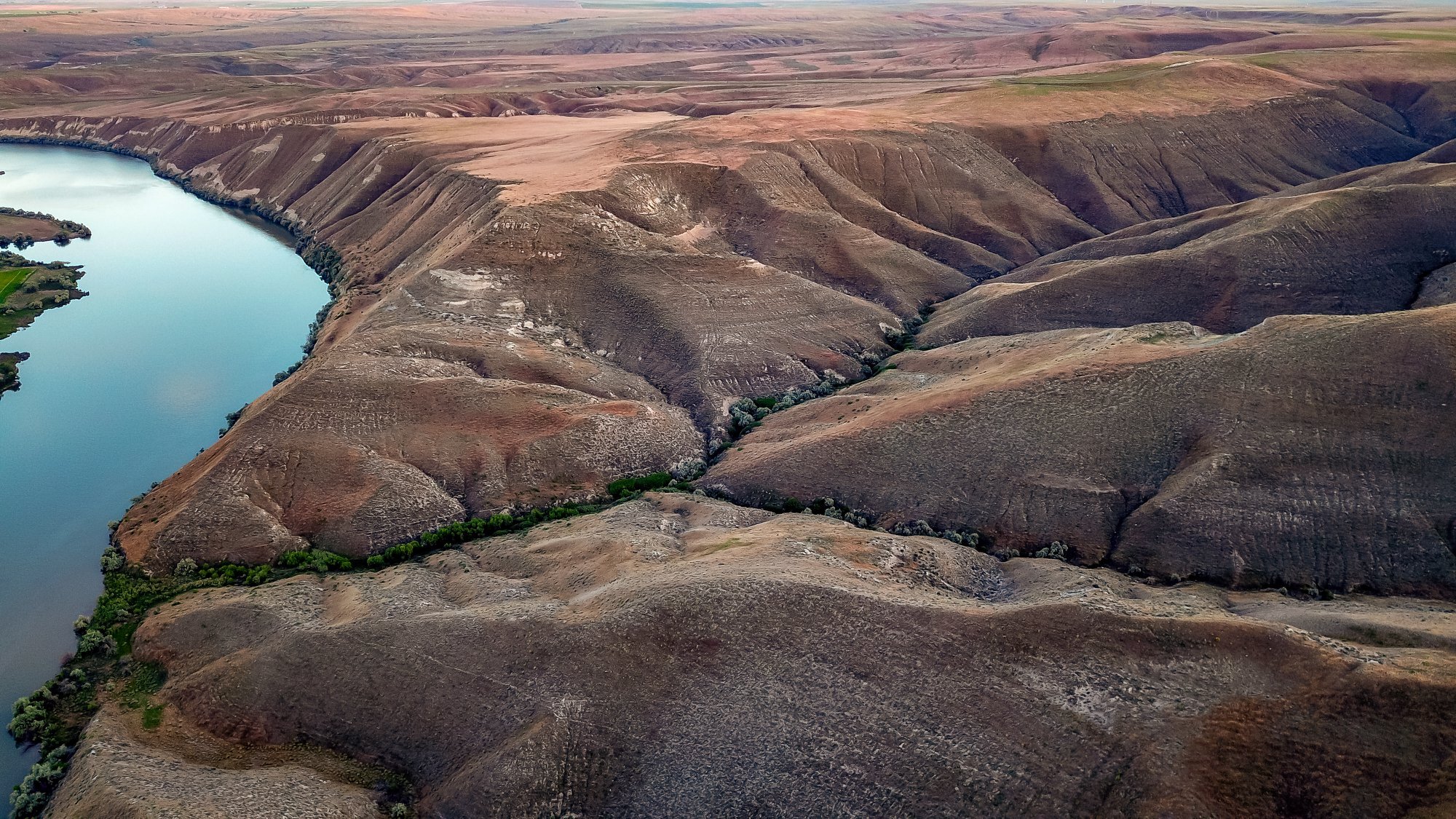
Drone View
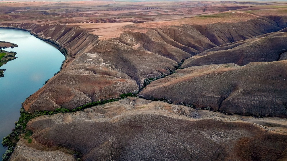
view of the fossil beds from a drone up high showing the folds of land and part of the Snake River
View of the Hagerman Fossil Beds via drone (properly permitted)
Permission must be secured from the individual copyright owners to reproduce any copyrighted materials contained within this website. Digital assets without any copyright restrictions are public domain.
NPS/Orange Frame
Public domain:Full Granting Rights
Image
Hagerman Fossil Beds National Monument, Code: HAFO
Hagerman Fossil Beds National Monument, Idaho
Latitude: 42.7643013000488, Longitude: -114.939697265625
Latitude: 42.7643013000488, Longitude: -114.939697265625
07/16/2018
01/01/0001
Public Can View
Friday, April 24, 2020 4:33:15 PM
Friday, April 24, 2020 4:33:15 PM
Aerial2_edit.jpg
Monday, January 1, 0001 12:00:00 AM
jpg
706.3 kB
Scenic