Select Item below to DOWNLOAD - Once item is selected, right click and choose 'save as'

07da135b-4fcf-4a45-acf9-7c0738f1cd49
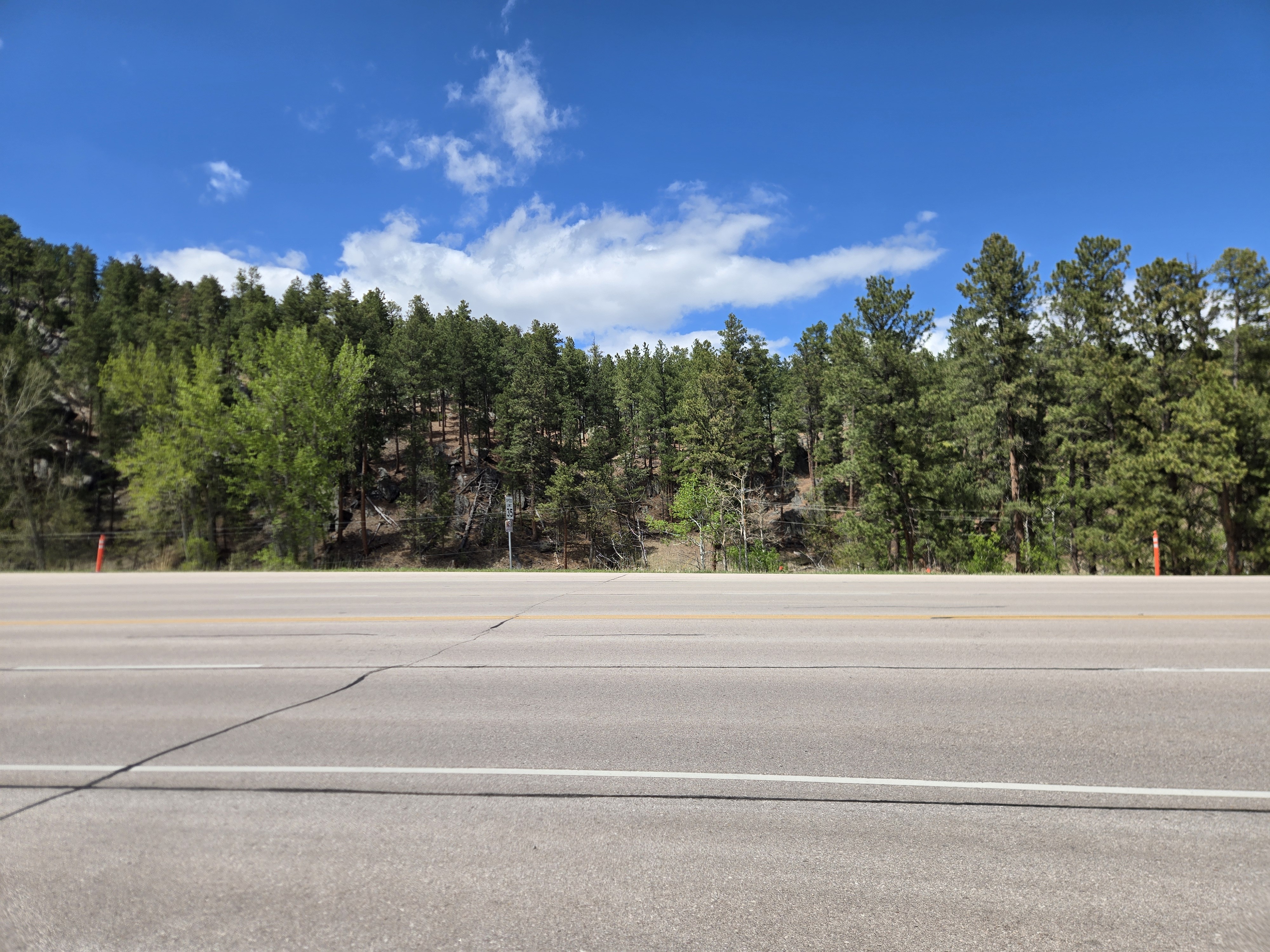
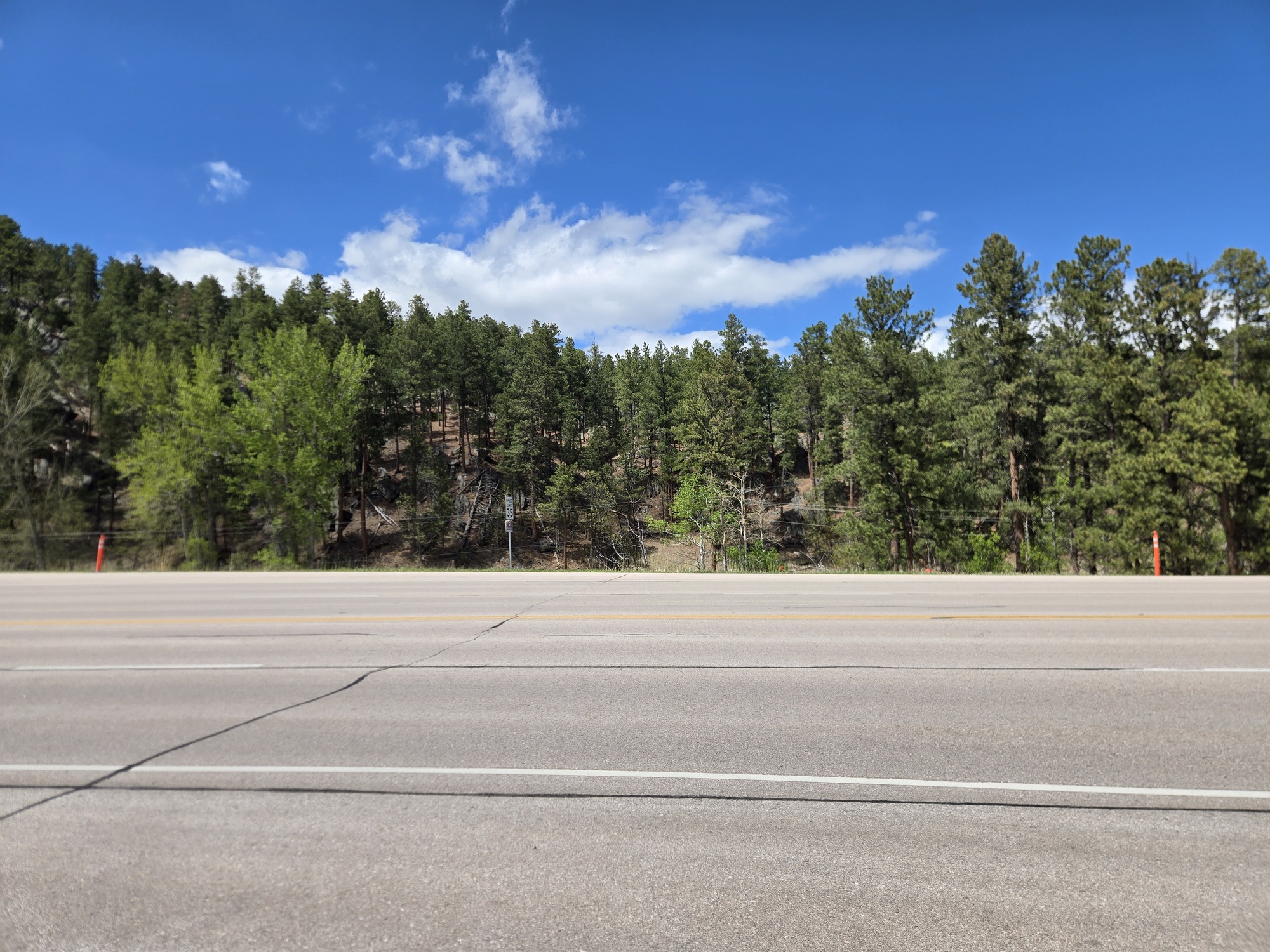
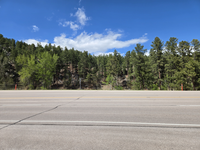
East Boundary First Amendment Area Wide View
A wide roadway runs across the foreground with a forested hillside in the background, filled with tall pine trees under a bright blue sky with scattered white clouds
This temporary First Amendment Area is for July 3, 2026. The area extends from orange cone to orange cone which is 100 feet. The width of the space is 13 feet.
Permission must be secured from the individual copyright owners to reproduce any copyrighted materials contained within this website. Digital assets without any copyright restrictions are public domain.
NPS Photo
Public domain:Full Granting Rights
Image
Mount Rushmore National Memorial, Code: MORU
Mount Rushmore National Memorial, Pennington County, South Dakota
Latitude: 43.8804016113281, Longitude: -103.453002929688
Latitude: 43.8804016113281, Longitude: -103.453002929688
05/19/2026
05/19/2026
Public Can View
Thursday, May 21, 2026 9:30:26 PM
Thursday, May 21, 2026 9:47:30 PM
Full_width.jpg
samsung samsung, Galaxy S24
463611/1000000000 sec at f / 1.8
5.4 mm
ISO 25
Tuesday, May 19, 2026 2:21:34 PM
jpg
3.7 MB
Scenic