Select Item below to DOWNLOAD - Once item is selected, right click and choose 'save as'


04aa7955-dde4-4b39-b9f5-84b032492a36
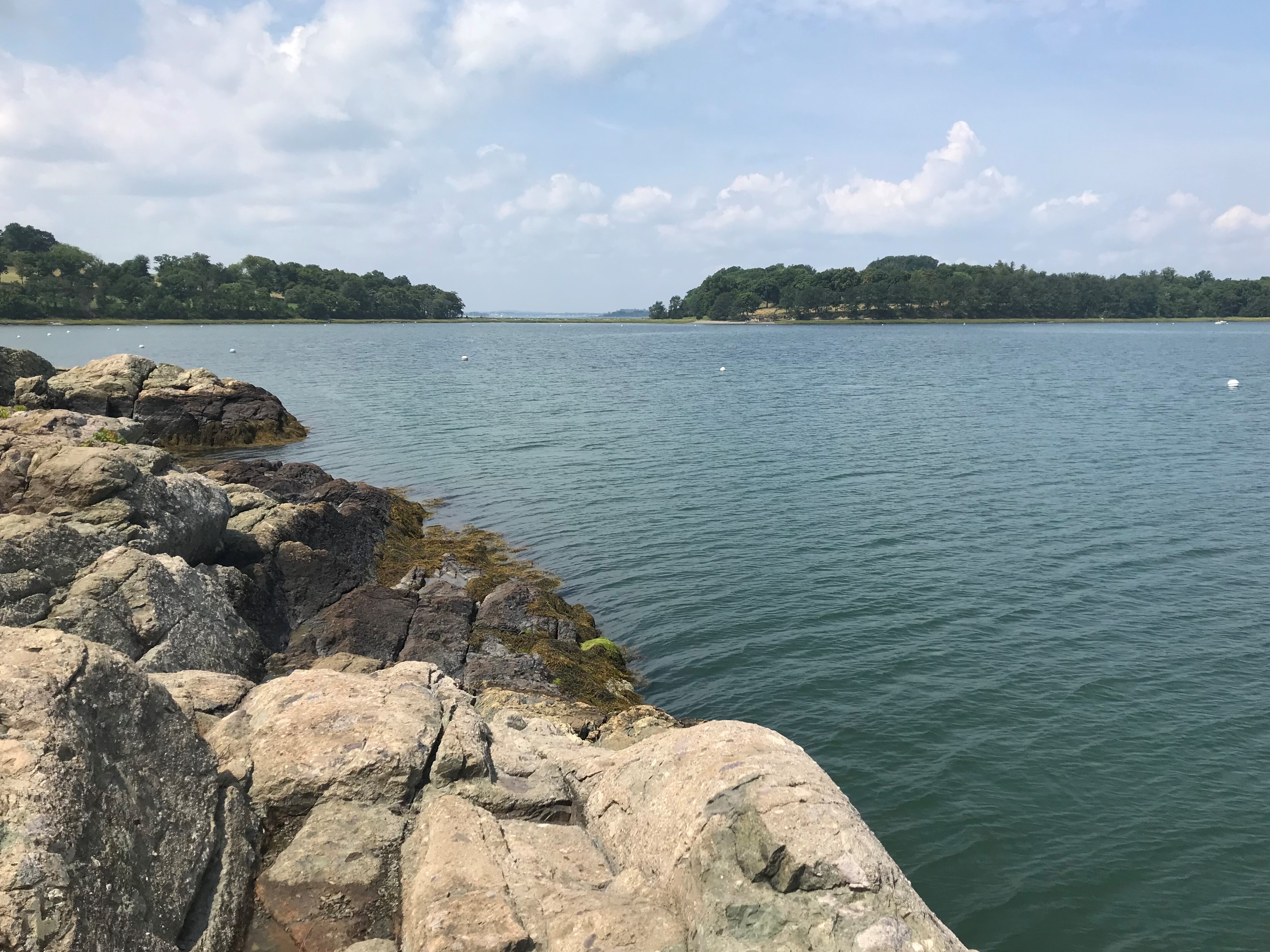
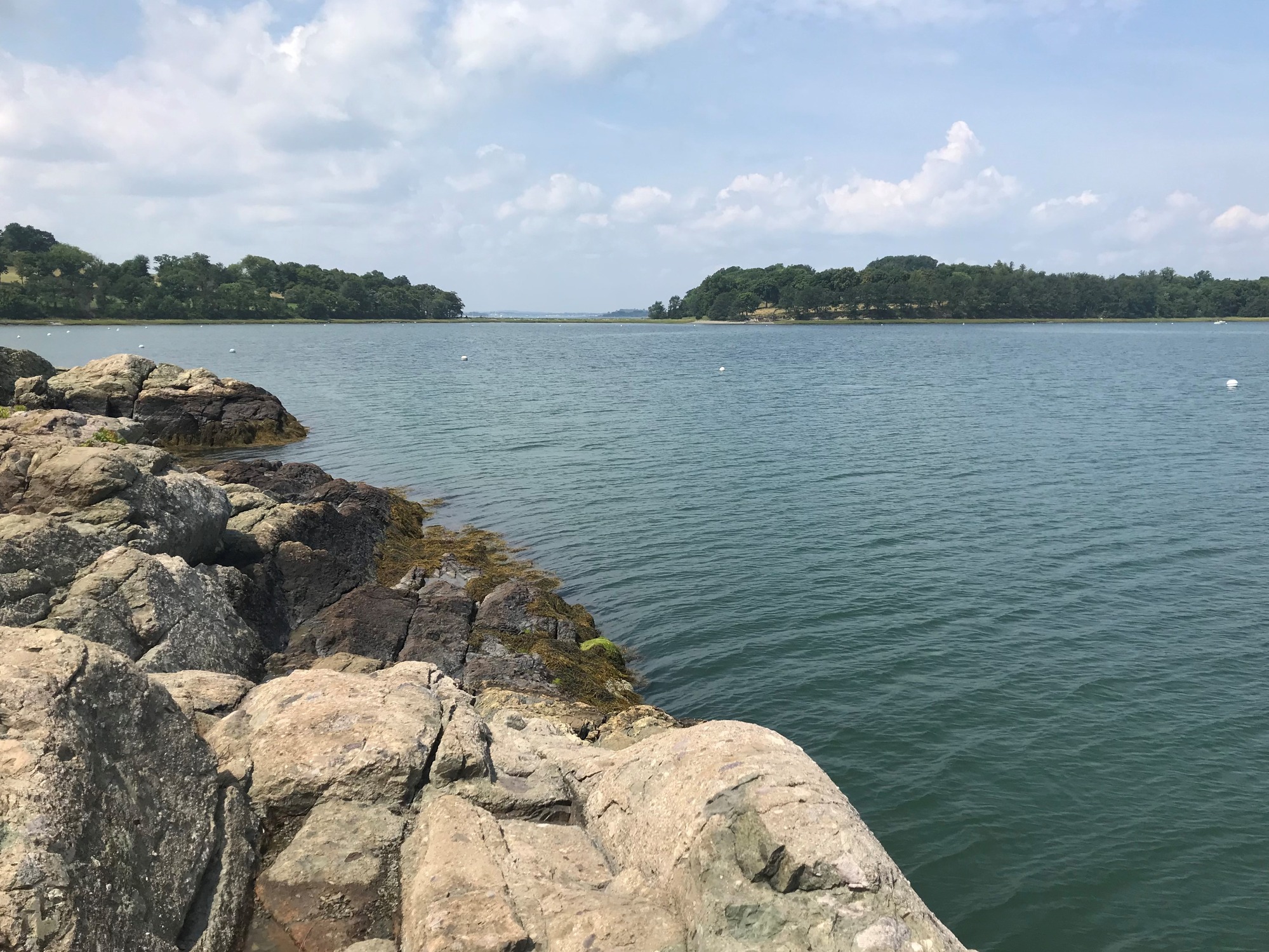
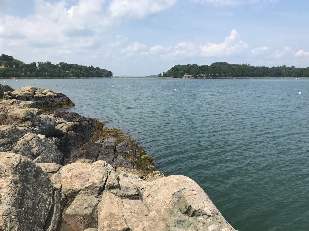
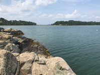
World’s End from Rocky Neck
A photo of the two drumlins of World’s End, which are connected by a low-laying tombolo. The foreground of the photo is Rocky Neck, another part of World’s End. It is very rocky, and there is some algae where the rocks meet the water. Saltwater fills the space between Rocky Neck and the main part of World’s End, and there are a few moorings.
A photo of the two drumlins of World’s End, taken from a rocky outcropping in Rocky Neck.
Permission must be secured from the individual copyright owners to reproduce any copyrighted materials contained within this website. Digital assets without any copyright restrictions are public domain.
NPS Photo
Public domain:Full Granting Rights
Image
Boston Harbor Islands National Recreation Area, Code: BOHA
Boston Harbor Islands National Recreation Area, Massachusetts
Latitude: 42.2621994018555, Longitude: -70.8761825561523
Latitude: 42.2621994018555, Longitude: -70.8761825561523
08/08/2018
08/08/2018
Public Can View
Wednesday, December 14, 2022 4:35:14 PM
Wednesday, December 14, 2022 4:40:02 PM
WorldEnd_RockyEnd.JPG
Apple Apple, iPhone 7 20, iPhone 7 back camera 3.99mm f/1.8
1/2817 sec at f / 1.8
3.99 mm
ISO 20
Wednesday, August 8, 2018 11:44:11 AM
jpg
2.2 MB
Scenic