Park Tiles Legend
A comprehensive explanation of symbols used in Park Tiles basemaps. Click on the heading for each feature type to open a live map example. This is a work in progress, and more symbol types may be added in the near future.
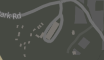
Standard
Aerial
Slate
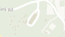
Light


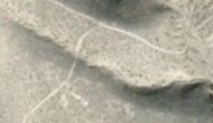
The National Park Service unit extents shown in NPMap products do not all pull from the official NPS source, the Land Resources Division (Lands), and should not be considered authoritative. See our Disclaimer page for additional details.

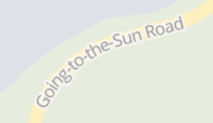
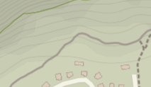
The NPS geospatial data standard for roads defines primary roads as “generally divided, limited-access highways within the interstate highway system or under state management, and are distinguished by the presence of interchanges. These highways are accessible by ramps and may include some toll highways”. This class of road is also typically applied to the main thoroughfare in a park, even if it is a two-lane highway with at-grade crossings.

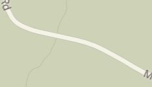
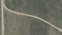
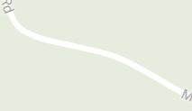
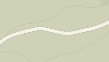
The NPS geospatial data standard for roads defines secondary roads as “main arteries, usually in the U.S. Highway, State Highway or County Highway system. These roads have one or more lanes of traffic in each direction, may or may not be divided, and usually have at-grade intersections with many other roads and driveways. They often have both a local name and a route number.”

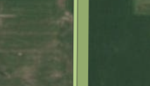
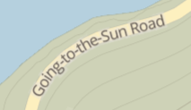
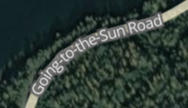
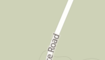
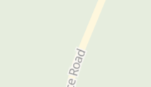
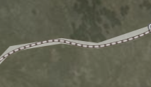
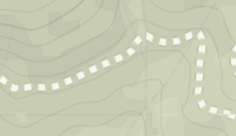
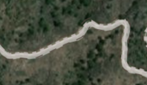
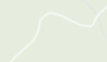
The NPS geospatial data standard for roads defines local roads as “Generally a paved non-arterial street, road, or byway that usually has a single lane of traffic in each direction. Roads in this feature class may be privately or publicly maintained. Scenic park roads would be included in this feature class, as would (depending on the region of the country) some unpaved roads.”
Standard
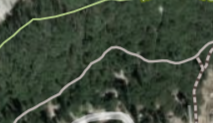
Aerial
Slate
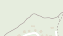
Light


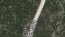
Unpaved roads can be a variation on standard (paved) local roads. They do not require four-wheel drive vehicles, and can have one of the following surfaces: dirt, gravel, sand, et al. Only Park Tiles Standard symbolizes unpaved roads differently from paved local roads at this time.


The NPS geospatial data standard for roads defines four-wheel drive/4WD roads as “An unpaved dirt road where a four-wheel drive vehicle is required. These vehicular roads are found almost exclusively in very rural areas.”

Private roads are “maintained for administrative service” or “other purposes”. They are reserved for agency use only and are not open to the public.
Service roads and parking lot roads
Service roads and parking lot roads occupy the bottom of the road hierarchy and provide connections to larger roads and parking facilities, respectively. They are symbolized similarly to local roads; see above.
Standard
Aerial
Slate
Light
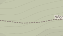
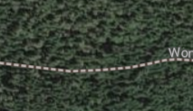


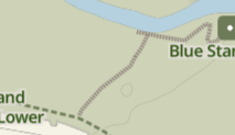
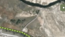
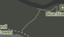
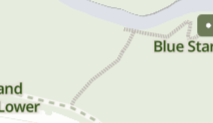
These trails are comprised of natural surfaces commonly found in parks.

These trails have improved, artificial surfaces and are commonly found in developed areas of parks. Surface types can include, but are not limited to, asphalt, brick, concrete, and masonry.
Walkways with surfaces comprised of wooden planks.
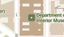
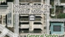

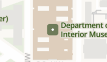
Buildings that are managed for public use by the NPS, including visitor centers, museums, and shops/services.
All other buildings not managed for public use by the NPS.
We will be adding more symbol types to this page in the near future.