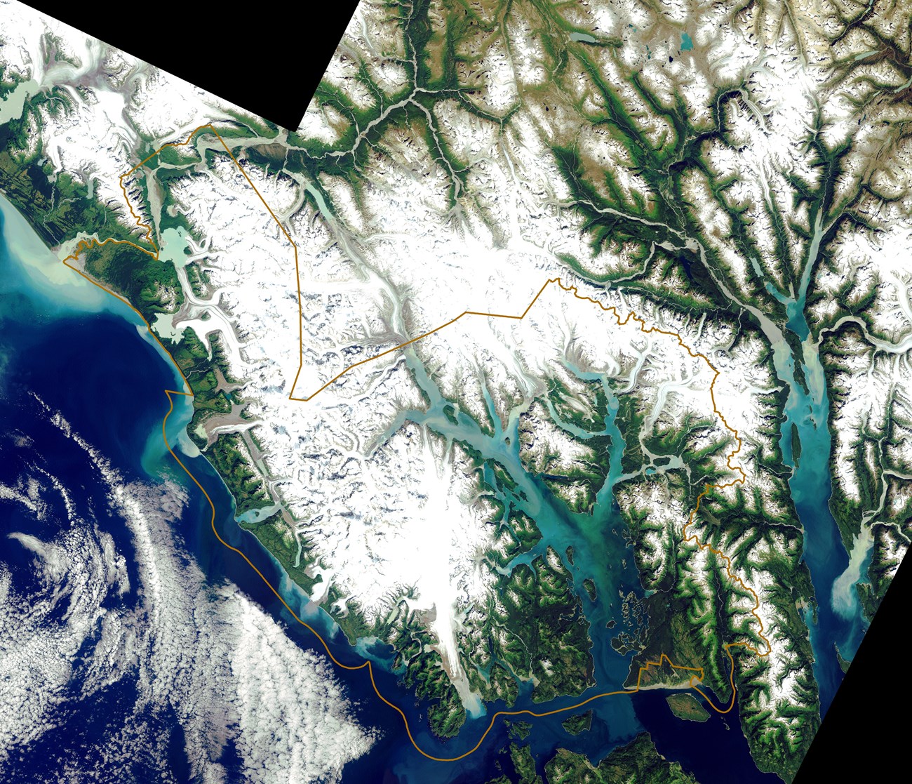
Located between 58 and 60 degrees north latitude, the Glacier Bay region defines the margin of North America. Here the land is thrown into a broad arc of rugged mountain ranges that intermingle with the Pacific in a maze of ice-scoured fjords, valleys, beaches, straits and islands, the whole comprising an amphibious landscape where no point of land or sea is more than 30 miles from a shore. It is an austere place of big tides, strong currents, fall gales and frequent earthquakes, a landscape of great peaks hard against profound depths. An area of somber blues, greens and grays only occasionally relieved by the pastels of a grassy meadow or sunset sky. Though perhaps one quarter of the region remains under ice today, glaciers were much more extensive only two centuries ago, and during the last Great Ice Age coalesced into a massive ice plateau similar to modern-day Greenland. The Glacier Bay region can be subdivided into four geographic provinces: Glacier Bay, Icy Strait-Cross Sound, the Outer Coast, and Admiralty Island. See these regions located on maps found on Glacier Bay's maps webpage. |
Last updated: January 13, 2022
