
|
|
|
2007 ESRI UC Displays |
 |
|
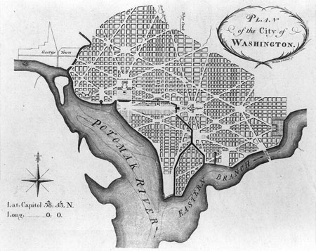
Historic Maps of Washington D.C. Nearly 50 maps of the Washington D.C. area were displayed as a tribute to both our Nation's capital and the advances made in cartography over the centuries.
Content by Geographic Information Systems Division, NISC, OCIO Links of interest:
For NPS go to inside for more information about the conference |
|
 *To view all the displayed maps and more, please visit these
 | ParkNet | US Department of the Interior | FOIA | Privacy Policy | Disclaimer | FirstGov |