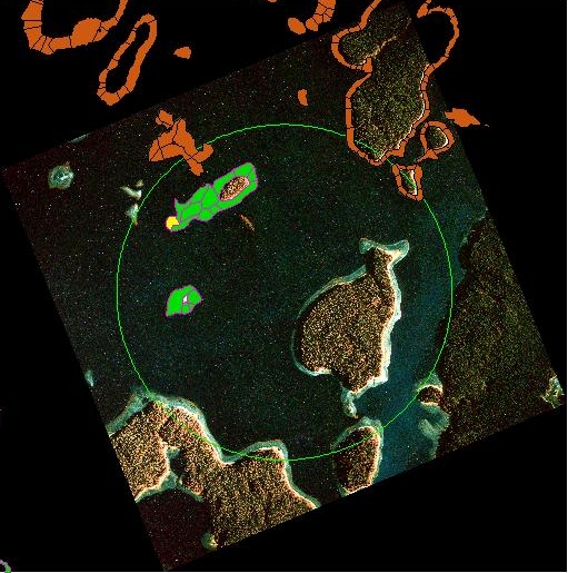
An illustration of segment polygons that have been heads-up digitized using a georeferenced infrared aerial photo. Segment polygons are then linked to their respective coastal resource data in the database.