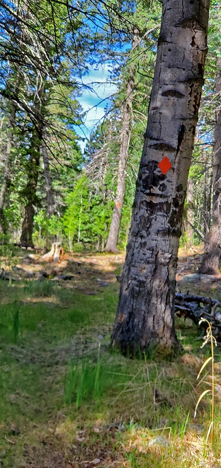
photo by Sally King
Visit our keyboard shortcuts docs for details
The Sawyer Mesa Trail starts right next to HWY 4 across from Cerro Grande Trailhead.
Visit our keyboard shortcuts docs for details
You immediately enter the lushness of the Mixed Conifer Forest. Nice and cool with lots of bird song.
Visit our keyboard shortcuts docs for details
If you are lucky you may even hear the flute like song of a Hermit's Thrush. This very plain Jane looking bird has one of the prettier songs in the bird world. 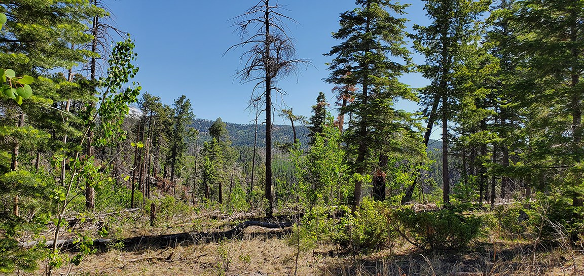
photo by Sally King
Visit our keyboard shortcuts docs for details
The bird continues to serenade us. 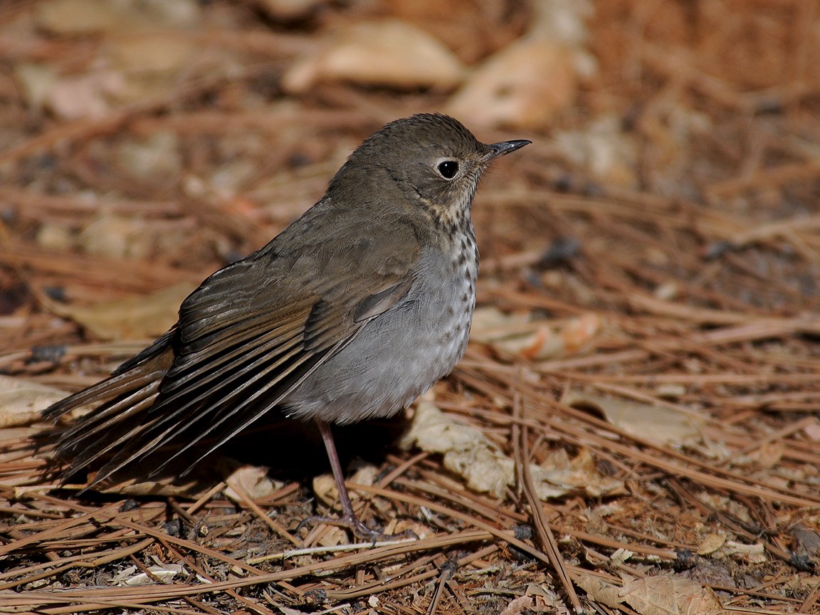
photo by Sally King
Visit our keyboard shortcuts docs for details
The dense cool Mixed Conifer Forest quickly changes to the hot exposed regrowth Aspen area. Hope you brought a wide brimmed hat.
Visit our keyboard shortcuts docs for details
This area was heavily burned less than 10 years ago and already the aspens are sprouting like crazy. Not tall enough yet to produce much shade, someday this area will be a gorgeous aspen grove. 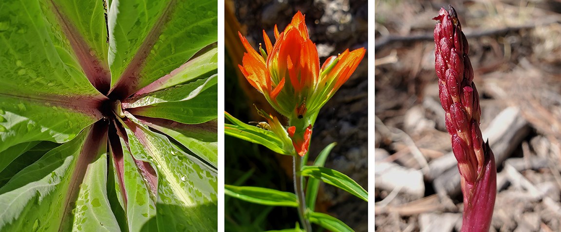
photos by Sally King
Visit our keyboard shortcuts docs for details
Fire is always interesting, burning some areas so heavily and leaving others relatively untouched.
Visit our keyboard shortcuts docs for details
Here we see a fairly strong demarcation between the lightly burned area and an area that burned hot and hard.
Visit our keyboard shortcuts docs for details
Here the trail enters a sea of aspen, mostly no more than a dozen feet tall. This is the aftermath of a hot fire almost a decade before. Someday this will be a beautiful aspen grove with towering trees providing shade. Right now it is hot and unforgiving. 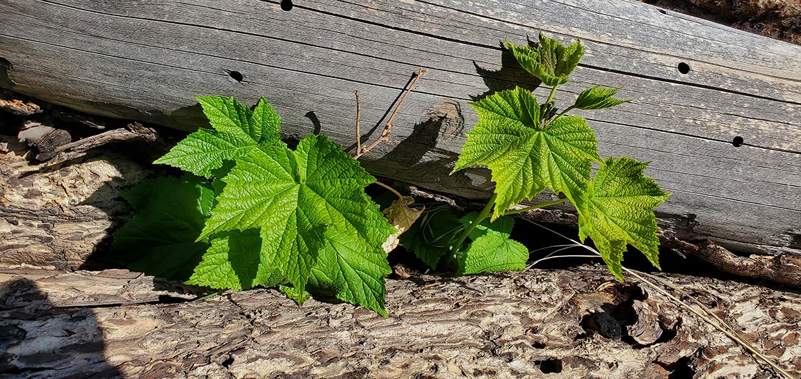
photo by Sally King
Visit our keyboard shortcuts docs for details
The Sawyer Mesa Trail offers a pretty nice overlook of Upper Frijoles Canyon.
Visit our keyboard shortcuts docs for details
The trail returns through the shade of the mixed conifer forest.
Visit our keyboard shortcuts docs for details
You can tell Golden Mantled Groundsquirrels from chipmunks by the lack of stripes on their faces. 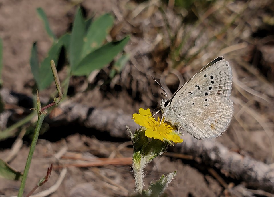
photo by Sally King |
Last updated: June 12, 2020
