
Getting to Bryce Canyon National ParkPhysical Address:Bryce Canyon National Park Official GPS Coordinates at the Visitor Center:Latitude: N 37° 38' 24" / Longitude: W 112° 10' 12" By Plane:The closest major airports are in Las Vegas (LAS), Nevada and Salt Lake City (SLC), Utah, each approximately 270 miles from the park. There are smaller airports in Cedar City (CDC), Utah (80 miles) and St. George (SGU), Utah (125 miles). By Car/Motorcycle/Bus:From the North:Take I-15 south to UT-20 (exit 95). Travel east on UT-20 to US-89. Follow US-89 south to UT-12. Travel east on UT-12 to UT-63. Take UT-63 south to Bryce Canyon National Park. The visitor center sits 1 mile inside the park boundary. From the South through Zion National Park:Take I-15 north to UT-9 (exit 16). Follow UT-9 east through Zion National Park to US-89. Travel north on US-89 to UT-12. Go east on UT-12 to UT-63. Take UT-63 south to Bryce Canyon National Park. The visitor center sits 1 mile inside the park boundary. Take I-15 north to exit 59. Go east on 200 north, then south on Main Street to Center Street/UT-14. Travel east on UT-14 to US-89. Go north on US-89 to UT-12. Follow UT-12 east to UT-63. Take UT-63 south to Bryce Canyon National Park. The visitor center sits 1 mile inside the park boundary. This is a very scenic route during the summer months and early fall. From the South through Bear (Dog) Valley:Take I-15 north to UT-20 (exit 95). Go east on UT-20 to US-89. Follow US-89 south to UT-12. Travel east on UT-12 to UT-63. Take UT-63 south to Bryce Canyon National Park. The visitor center sits 1 mile inside the park boundary. Public Transportation:Public transportation to the park is not available. Getting Around in the Park:The free Bryce Canyon Shuttle Service takes visitors to the park's most popular viewpoints, trails and facilities. Using the shuttle is encouraged but not required. Shuttle bus schedule is subject to change. If you are interested in driving your own vehicle you can get parking lot information and see when they are busiest on our Parking Information page. The park is open year-round. Roads are plowed and sanded after heavy snowstorms. Some roads may be temporarily closed during and immediately following winter storms, but the park is always open. 
Maps
Access the park brochure, newspaper, and other helpful maps. 
Traffic & Travel Tips
Learn more about traveling to Bryce Canyon and surrounding areas. 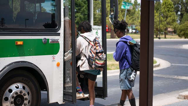
Ride the Free Shuttle
Avoid crowded parking lots by riding the free shuttle. 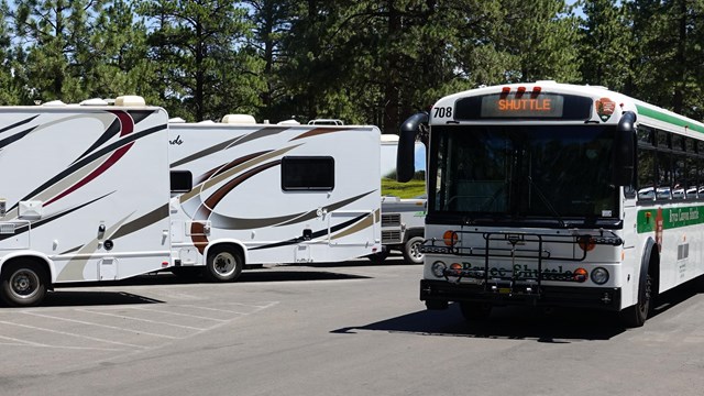
Oversized Vehicle Information
Oversized vehicle restrictions and information. 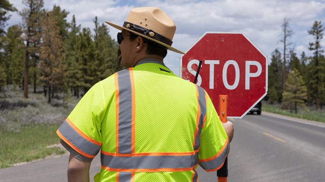
Parking Lot Status
Check when parking lots are busiest 
Plan Your Visit
A good place to start for trip planning information. |
Last updated: May 1, 2024