
Plan ahead and prepare for your hike in Zion National Park. Review the trail information linked below to choose a trail that is right for your group. Your safety is your responsibility. You can read the most recent trail information on our trail access information page. For updated trail closure information, check the current conditions. Find trailhead location maps on our publications page. Much longer hikes are located in the Zion Wilderness. These are not loop hikes. Most day hikers will hike out and back the same way. Hikers do not need to travel the full distance, they can turn around at any point and return the way they came. The group size limit for all Zion Wilderness trails, including the Virgin River Narrows beyond the junction with Orderville Canyon, is 12 people. 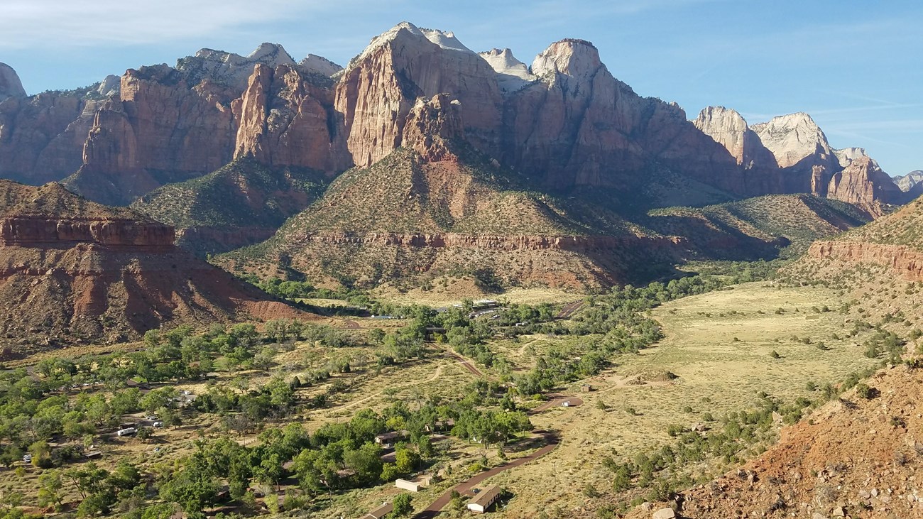
Zion Canyon Trails
The most popular trails in Zion National Park are located in Zion Canyon. This includes Angels Landing, The Narrows, and many others. 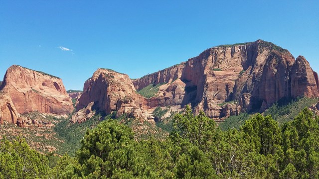
Kolob Canyons Trails
Several hiking options are located in Kolob Canyons, the northwest corner of Zion National Park. 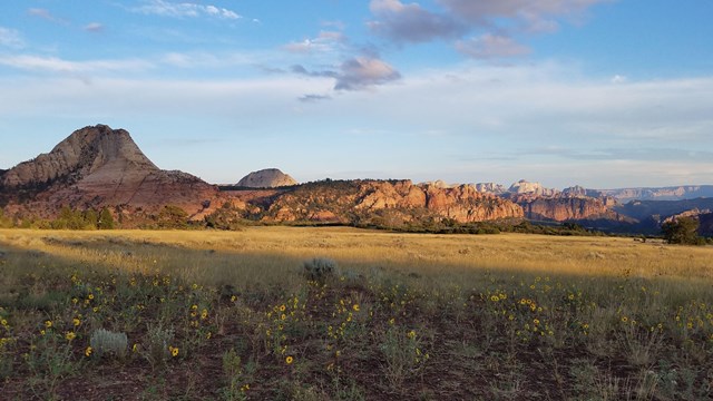
Kolob Terrace Trails
These trails are at a higher elevation, mostly stretching across a center portion of the park. 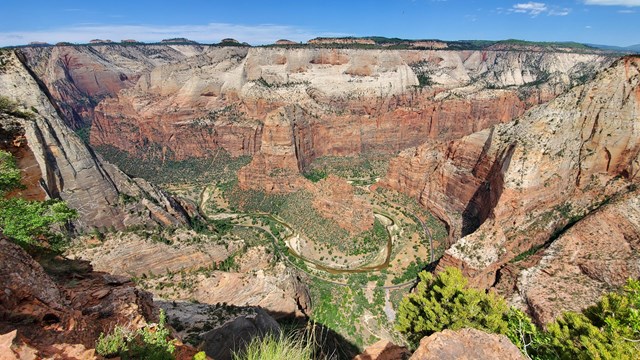
East Rim Area Trails
This area is located east of Zion Canyon at a much higher elevation. 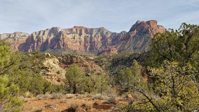
Southwest Desert Trails
A beautiful low-elevation area located in the southwest corner of Zion National Park. 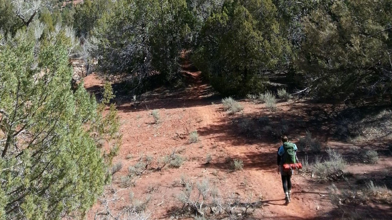
Backpacking
Overnight trips require a Wilderness permit. Explore your options and reserve permits in advance. |

Last updated: January 13, 2026