|
With over 90 miles of trails and dozens of designated backpacking sites, the Zion Wilderness is a world-renowned destination for solitude and adventure. Backpackers can enjoy sights and experiences unseen by most visitors. 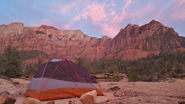
Backpacking Permits
Learn how to obtain a Zion Wilderness overnight backpacking permit. 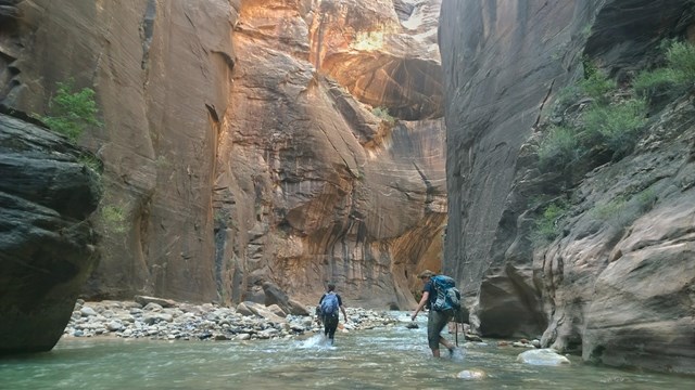
Wilderness Trails & Campsites
Zion has many wilderness trails and campsites. Read brief descriptions to discover which route is best for your group. 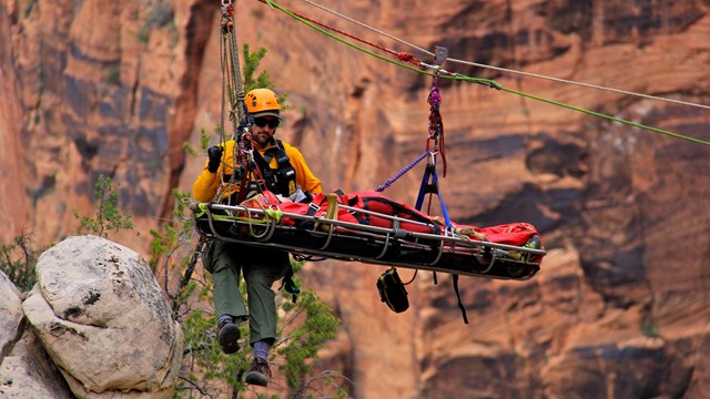
Wilderness Safety
The wilderness can be an unforgiving place, and your safety is your responsibility. Learn how to prepare for a safe trip. 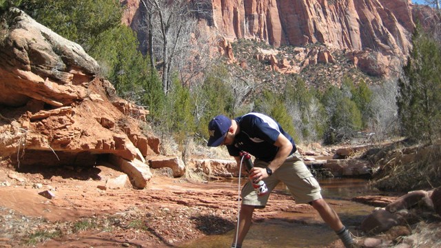
Water Sources in Zion
The desert is a hot, dry place. Make sure you know where to find safe drinking water before exploring. 
Wilderness Transportation
Learn about options for reaching trailheads in Wilderness areas. 
Wilderness Regulations
Help keep Zion's backcountry beautiful. Follow the rules and regulations of wilderness areas. 
Wilderness Information
Planning and permits for backpacking, canyoneering, and other Wilderness trips. 
|
Last updated: March 19, 2026