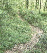
NPS Photo A compass and the trail guide (available on this site) are necessary to complete this hike! Be sure that each member of the unit is properly trained in the use of a compass prior to beginning. The time needed to hike the Scout trail varies with the group; however, most finish in about eight (8) hours, not counting lunch. The trail is a 12.5-mile loop beginning and ending at the Visitor Center. Plan to arrive back at the Visitor Center before dark, whether finished with the hike or not. The Al Scheller Trail is physically demanding. Only those in good physical condition should attempt this hike. In the event of a problem, notify a passing park ranger or contact personnel at the Visitor Center (601-636-0583) or USS Cairo Museum (601-636-2199). You will see many earthen fortifications on your tour and hike. There are three principal types: REDAN - triangular in shape, with one point facing the enemy REDOUBT - square-shaped and generally larger than a redan LUNETTE - crescent or semi-circular shaped Through experience, the Confederates found the earth must be at least sixteen (16) feet thick at the top of a fortification to withstand artillery fire. The bases were usually about twenty-six (26) feet thick. The route of the hike is marked on the map of the park. Important monuments, mileposts, and geographical features are shown on the map for orientation purposes only. You may wish to keep track of your progress or time by marking the map as you pass each feature. 
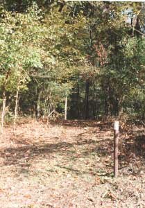
NPS Photo As you arrive at the required stations for the hike, read the information from the booklet for each station to all hikers, being sure that each one understands the questions. The answers to the questions can be found on the plaque or monument at that station. Have each hiker determine the answer. Prior to leaving the station, write the answer on the supplied answer sheet. At the conclusion of your hike, fill out the application for award, check to be sure the answer sheet is complete, and mail the form to the Vicksburg Trails Commission (Boy Scout Council) with a check or money order to cover the cost of the awards. Your comments and suggestions to improve the Scout Trail are welcome. |
Last updated: April 14, 2015
