|
North and South Manitou Island are part of an island chain that extends north to the Straits of Mackinac. South Manitou is approximately 16 miles west of Leland, and 8.277 square miles in land area. North Manitou Island lies to its north, approximately 12 miles from Leland, and has a land area of 22.346 square miles. Rich in history, the Manitou Islands are a part of the Sleeping Bear Dunes National Lakeshore, with almost their entire area available for hiking, camping and exploration. The 15,000 acres of North Manitou Island are (with the exception of the village area) managed as a wilderness area, and the island is home to numerous species of hawks and eagles. Manitou Island Transit provides regular ferry service to both islands for campers and day trips to South Manitou. 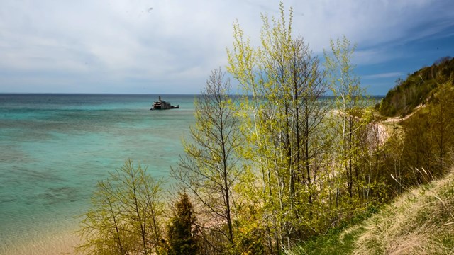
Visit South Manitou Island
The Morazan wreck in the waters off the shore of South Manitou Island 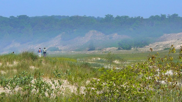
Visit North Manitou Island
Two hikers on the shrub-covered dunes of NMI 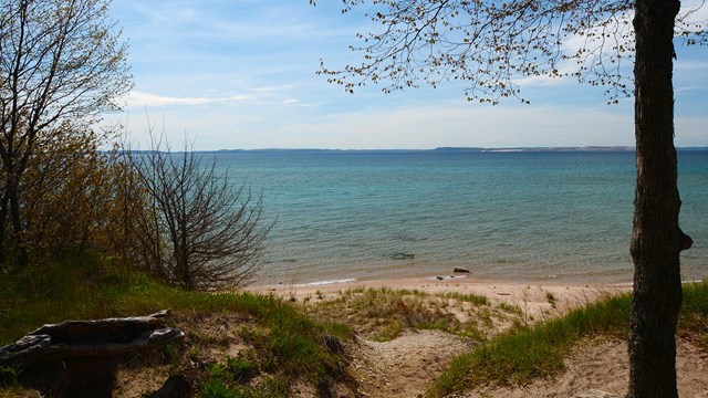
Camping on South Manitou Island
Backpacking and camping on South Manitou Island 
Camping on North Manitou Island
Campers arriving on North Manitou Island |
Last updated: March 25, 2024