National Park Service LogoU.S. Department of the InteriorNational Park ServiceNational Park Service
National Park Service:  U.S. Department of the InteriorNational Park Service Arrowhead
Sleeping Bear Dunes National LakeshoreBackpackers
view map
text size:largestlargernormal
printer friendly
Sleeping Bear Dunes National Lakeshore
Bay Campground Map

The Bay campground is the closest camping site to the dock.  It is located about half way between the Ranger Station and the location of the old South Manitou Dock and overlooks Crescent Bay with easy access to the beach.  Because it is located close to the dock, contact with other visitors is more likely than at other campgrounds.

There are 25 Individual Sites (maximum of 4 people or 2 tents per site) and 3 Group Sites (maximum of 20 people or 10 tents per site).  There are several fire rings in the campground that can be shared by campers.
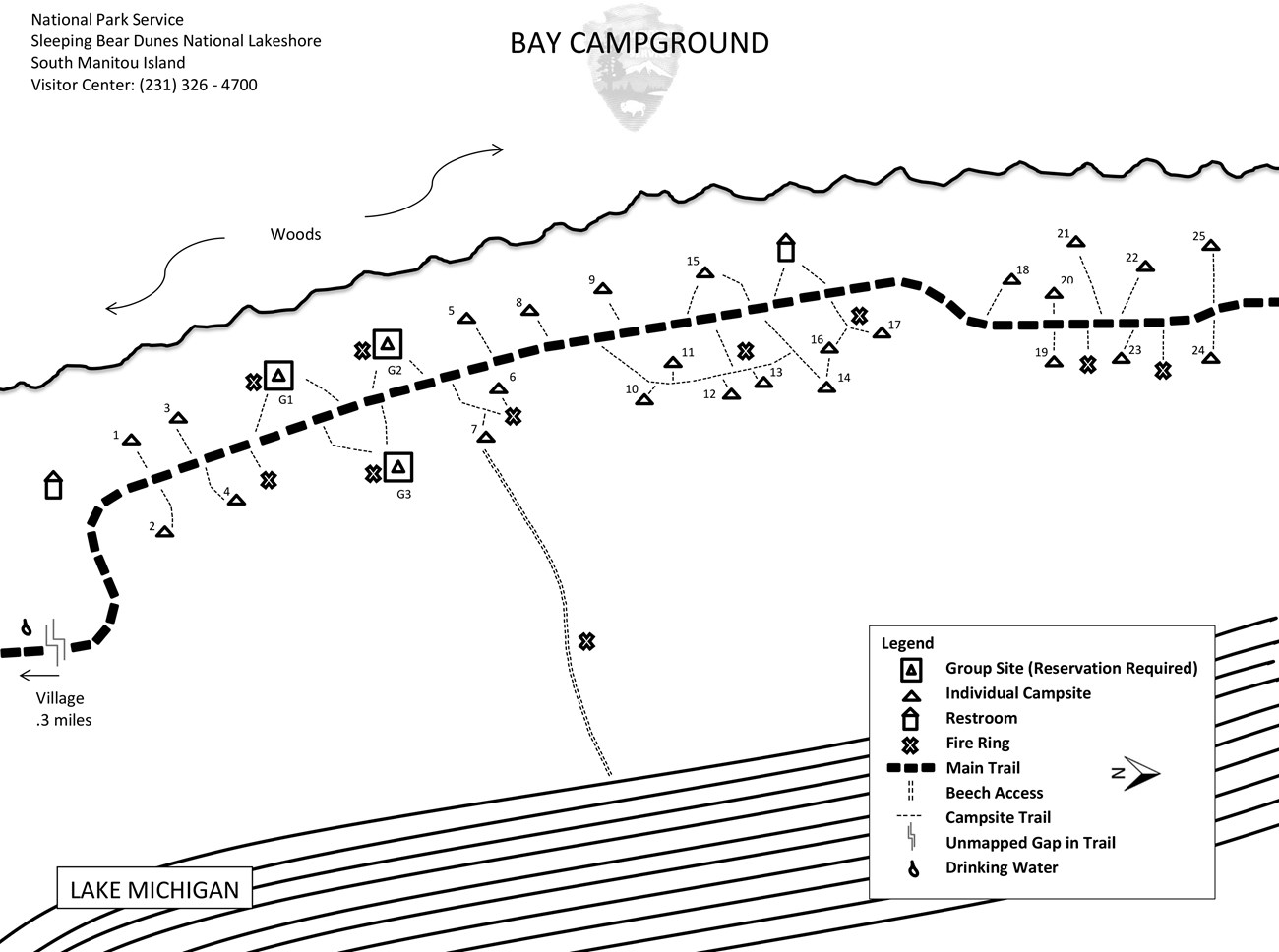
  Drinking water is available at the campground.

Click to download a map in pdf format.

 
Bay Campground Map
NPS Map 2006
Bay Campground Map
The Dune Climb  

Did You Know?
Where can you go to climb sand dunes over 200 feet high? The Dune Climb at Sleeping Bear Dunes National Lakeshore also gives you a great view of Glen Lake. The hike to Lake Michigan is over 1.5 miles through the dunes from here. Take some water and wear good shoes!
more...

Last Updated: September 19, 2006 at 18:41 EST