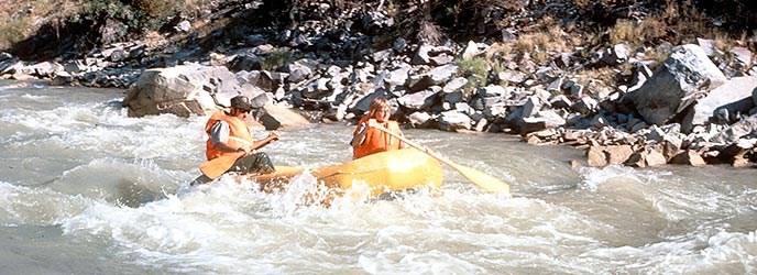
NPS Photo/Big Bend National Park The charts below provide basic distance and estimated time for float trips on the Rio Grande. These calculations are estimates only. The feasibility of a particular trip varies with the season and river level. Always check current conditions before planning your float trip. Current Conditions

River Mileages: Big Bend and Rio Grande Wild & Scenic RiverChart highlighting the basic distance and estimated time for float trips on the Rio Grande from Presidio to Langtry.The number of days estimated for each trip given certain safety and pleasure considerations, e.g. layover days, extended trip lengths, bad weather and injuries. Fifteen to twenty miles per day is a normal pace on the Rio Grande Wild & Scenic River.
River Mileages: Rio Grande Wild & Scenic River - Lower CanyonsChart highlighting the basic distance and estimated time for float trips on the Rio Grande from from Heath Canyon to Dryden Crossing. The number of days estimated for each segment is given certain safety and pleasure considerations, e.g. layover days, extended trip lengths, bad weather and injuries. Fifteen to twenty miles per day is a normal pace in the Lower Canyons. |
Last updated: April 17, 2019
