Last updated: November 2, 2023
Place
Sarah Island
Beth Howard
Quick Facts
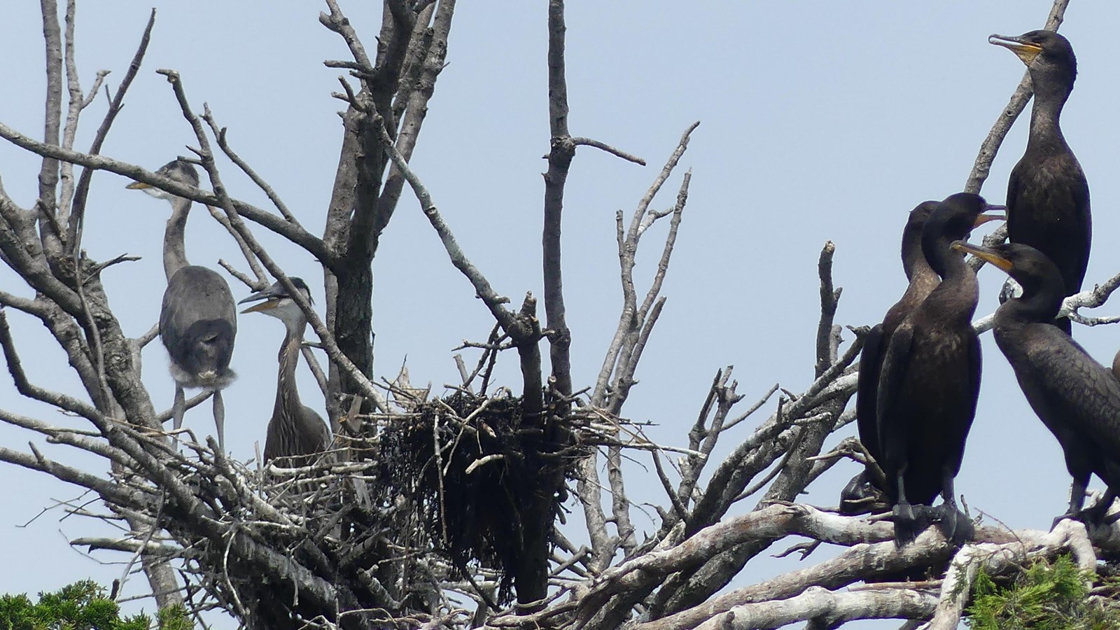
Twelve miles South of Boston, in the middle of Hingham Bay, sits a small island called Sarah Island. With only 4.6 upland acres, its highest elevation is 30 feet. Neighboring Langlee, Ragged, and Button Islands, Sarah Island shelters nesting gulls and other wildlife.
Local Indigenous communities likely accessed Sarah Island and its neighbors for thousands of years prior to European colonization. In 1686, John Langlee purchased Sarah Island, along with Langlee and Ragged. Langlee worked as an innkeeper and ran a small boatyard in Hingham. The Langlee family set up their primary residence on what is today Langlee Island. It is said that both Sarah and Ragged Island are named in reference to Langlee's daughter, Sarah, who is referred to in local history books as "Ragged Sarah Langlee." Sarah Derby (Langlee) married an affluent man, who left her a significant amount of money when he died. Later called "Madam Derby," Sarah Derby used that money to start the Derby School in Hingham, which opened in 1791. It remains one of the oldest co-educational schools in the country—the oldest in New England.1
John R. Brewer purchased both Sarah and Langlee Islands in 1860. Also owning parcels on World's End, Brewer hired Frederick Law Olmsted to help him subdivide the peninsula in 1886. Olmsted's plan included planting trees on Sarah and Langlee Islands, as well as at World's End.2 In 1947, Brewer's granddaughter donated the island to the Town of Hingham, who manage the island today.3
Learn More...
Footnotes
- Olmsted Center for Landscape Preservation, Cultural Landscape Report: Boston Harbor Islands National & State Park, Volume 2: Existing Conditions (Boston: National Park Service, 2017), 207-223.
- Olmsted Center for Landscape Preservation, Cultural Landscape Report: Boston Harbor Islands National & State Park, Volume 1: Historical Overview (Boston: National Park Service, 2017), 187-188.
- Olmsted Center for Landscape Preservation, Cultural Landscape Report: Boston Harbor Islands National & State Park, Volume 2: Existing Conditions (Boston: National Park Service, 2017), 217-223.