Last updated: August 31, 2020
Place
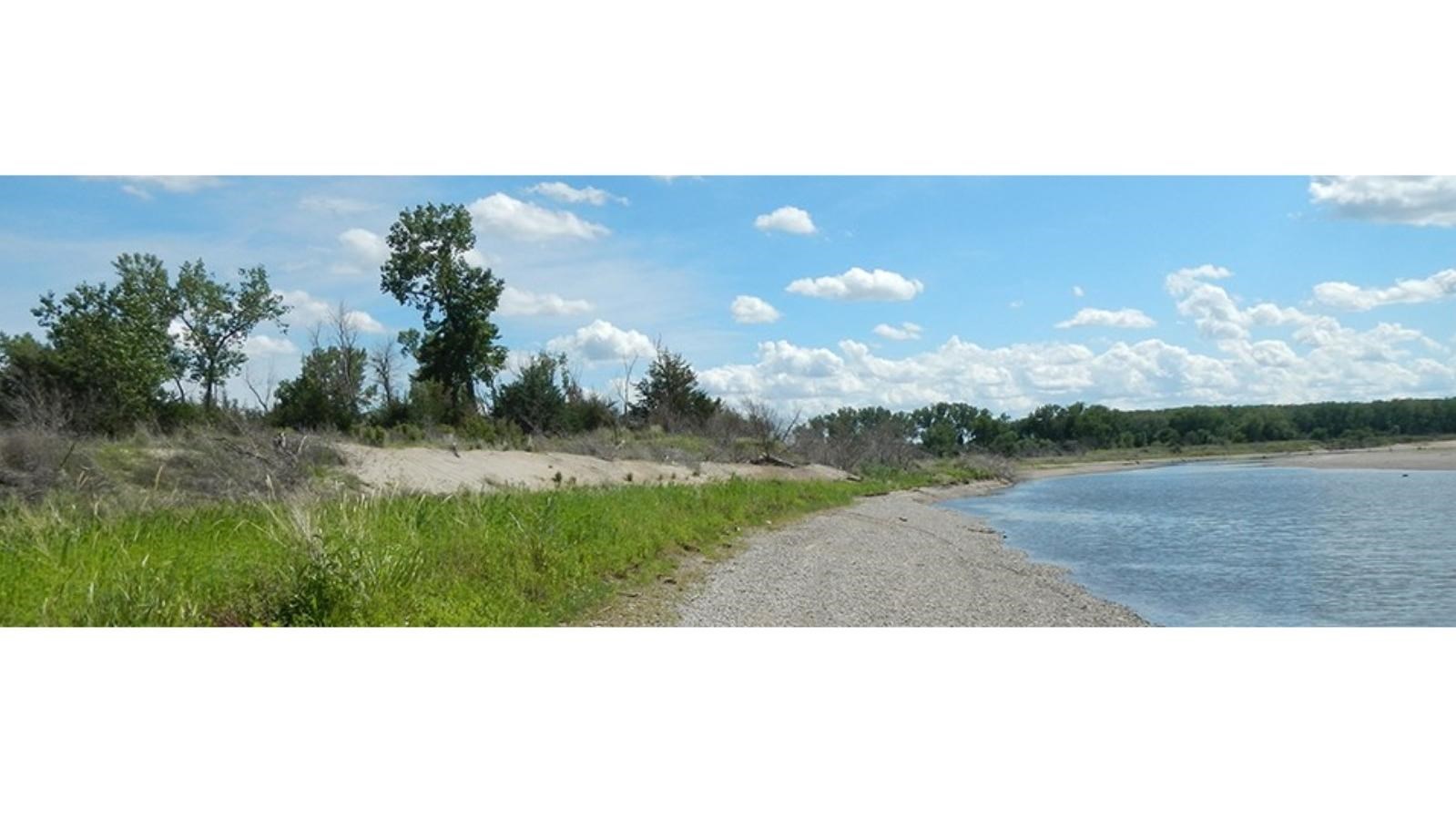
Green Island
Quick Facts
Location:
Green Island, Nebraska
Amenities
2 listed
Canoe/Kayak/Small Boat Launch, Fire Pit
Green Island actually never used to be an island! This National Park Service property gets its name from the nearby town of Green Island, Nebraska which washed away during the flood of 1881. The town of Green Island was never rebuilt, but the name and story have persisted.
WWII brought more activity to the Green Island area. German prisoners of war (POWs) were brought to Yankton from Camp Algona in Iowa to work on projects during the late spring/early summer of 1945. The POWs worked to protect the Meridian Bridge and surrounding farmland from erosion caused by the river’s pre-dam flow. Pilings were installed west of the Meridian Bridge to force water away from the bridge abutments. The remnants of these pilings can be seen today on the park’s land-based trail.
During the last 10 years, Green Island has undergone quite a change. A backwater was restored as a mitigation measure during the construction of the Discovery Bridge. In 2008, the backwater was connected to the main river channel on the downstream end. The flood of 2011 eroded the upstream end of the backwater, creating an island with a flowing side channel. The Missouri National Recreational River acquired the property in 2014.
Trail Data
- Easy hike, mostly flat terrain on island and land portions
- Land hike: 0.75 miles, Island hike: 1.0 mile
- Do not cross fences; respect private property
- No bicycles or motor vehicles
- No hunting
Camping
- Island has primitive campsites with fire pits
- Two isolated tent sites on the east side of the island and three adjacent sites on the west side
- Fires allowed only in designated fire pits
- Please call us at 605-665-0209 and leave your basic itinerary for your safety and for a back country use permit issued by the Park's HQ Office.
How to Access
- Island access is by boat only
- Land access is by taking Yankton city trails under the Discovery Bridge
Points of Interest
- There are historic World War II pilings that were installed in 1945 by German prisoners of war to help stabilize the river banks and protect the Meridian Bridge on the land trail.
- Side channels of the Missouri are important because they provide invertebrate communities and a low energy environment for fish. However, side channels along the MNRR are declining due to upstream dams.
Be Prepared
- Use caution when trail is snowy or icy
- Watch for poison ivy and thistle
- Watch for tripping hazards, as trail may be uneven
- Be aware of changing weather conditions
- Pack out all trash; leave no trace
- Leave everything you find; all natural and cultural features are protected by law