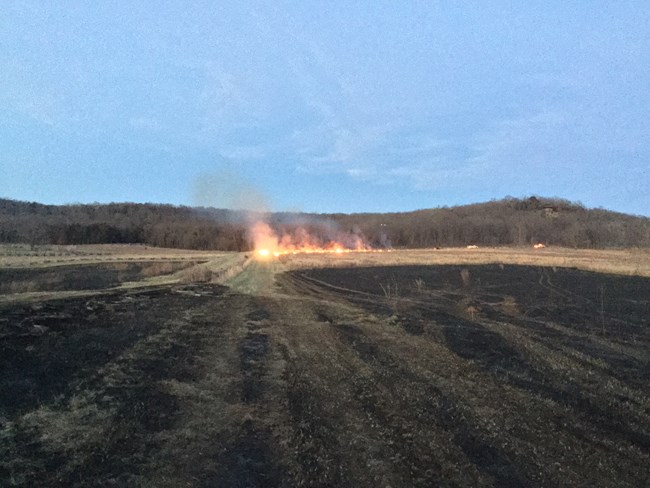
NPS / Nolan Moore For the last 200 years, the area in and around the park has been home to American Indians and European settlers. The land was used as farmland, Civil War battlefields, and left as open native prairies. Natural resource managers want to restore the landscape to represent plant communities that would have been present when the Battle of Pea Ridge occurred in 1862. To reach this goal, they cut and remove overgrown trees, shrubs, and invasive plants. Plant communities found in Pea Ridge National Military Park are in the Ozark Plateau physiographic region. Rolling hills and broad uplands scatter the land of Northwest Arkansas. Pea Ridge National Military Park has restored prairies. Park staff is working to restore Savannas, Dry Opened Woodlands, Dry-Mesic woodlands, and Dry-Mesic forests. All these restoration projects are completed under the park's vegetation management plan. In Pea Ridge, the wildland intersects with modern buildings and homes as well as with the cultural and natural resources. Prescribed fires make space for younger native grasses and forbs. Forbs are types of flowering plants commonly found in grasslands. The prescribed fires burn smaller pole-sized trees, reducing the percentage of canopy cover. This allows more sunlight to hit the forest floor. Fire staff works closely with scientists to plan prescribed fires that will protect the historic battlefields as well as preserve and restore habitat for wildlife such as the bobwhite quail and many other grassland species. 
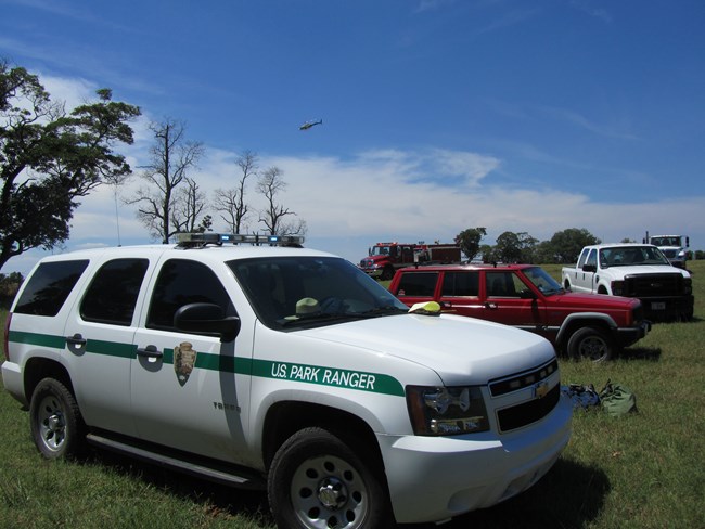
NPS / Nolan Moore The National Park Service works with other agencies, tribes, state parks, colleges, and communities to protect lives and resources from wildfires. Pea Ridge National Military Park, through a memo of understanding (MOU), has partnered with local volunteer fire departments, the Arkansas Forestry Commission, and the Arkansas Game and Fish Commission to conduct prescribed fires. In return, the volunteer fire departments receive training in wildland firefighting. Students from Northwest Arkansas Community College also assist fire managers by studying the vegetation in the park. The information learned and shared is used in the planning of prescribed fires. After planning is complete, the students are part of the process of carrying out the prescribed fires. Vegetation Monitoring 

Left image
Right image


Left image
Right image
Learn More About Wildland Fire in Arkansas |
Last updated: April 5, 2025
