
NPS Pablo McLoud Description
Notices:
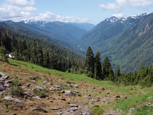
Description Ecosystem type: Lowland forest river valley, montane forest, subalpine meadow Camping Permits/Reservations: For the most up to date information on how to obtain a Wilderness Permit click here. Special Concerns Leave No Trace: Practice Leave No Trace during your stay to protect vegetation and reduce impacts to the wilderness. Camp in established sites or on bare ground.
NPS Pablo McLoud 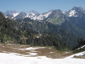
NPS Pablo McLoud |
Last updated: September 13, 2022