
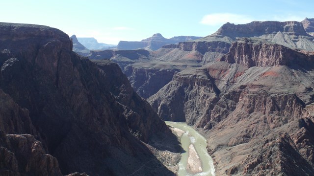
The Nationwide Rivers Inventory (NRI) is a listing of more than 3,200 free-flowing river segments in the United States that are believed to possess one or more "outstandingly remarkable" natural or cultural values judged to be at least regionally significant. Hence, NRI river segments are potential candidates for inclusion in the National Wild and Scenic River System.
Under the Wild and Scenic Rivers Act section 5(d)(1) and related guidance, all federal agencies must seek to avoid or mitigate actions that would adversely affect NRI river segments. The NPS provides instructions on the process of consulting on projects potentially affecting NRI segments.
The NRI is a source of information for:
-
Statewide river assessments and federal agencies involved with stream-related projects
-
Any group concerned with ecosystem management, the inventory can provide the location of the nearest naturally- functioning system which might serve as a reference for monitoring activities.
-
It also serves as a listing of plant and animal species for restoration efforts on a similar section of river.
-
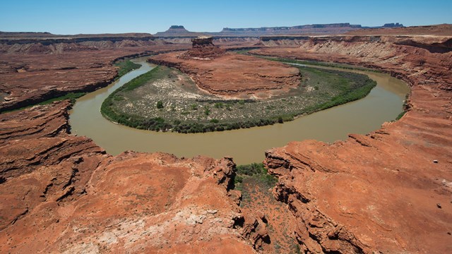
For the recreationalist, it provides a listing of free-flowing, relatively undisturbed river segments.
Consultation Instructions
Find instructions on the consultation process with the National Park Service on projects potentially affecting NRI segments.
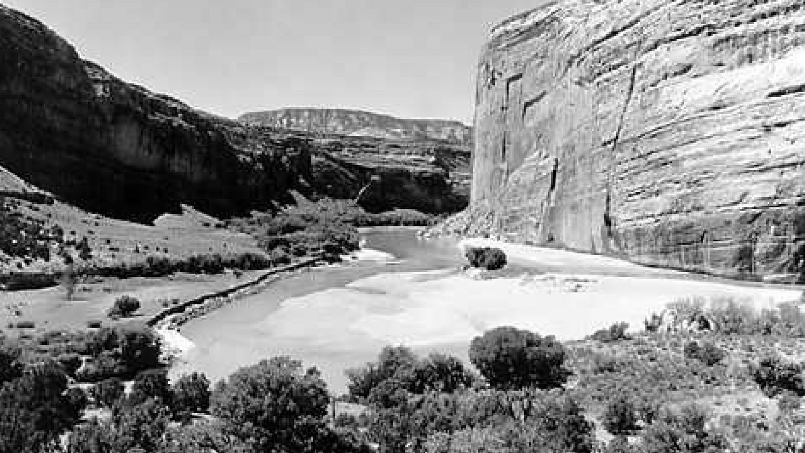
History
Learn more about the history of the Nationwide Rivers Inventory.
Eligibility
Look into what makes a river eligible for the Nationwide Rivers Inventory.
Data
View or download spatial and attribute data for the Nationwide Rivers Inventory.