Last updated: October 10, 2019
Place
Northern Rio Grande National Heritage Area
Northern Rio Grand NHA Photo
Quick Facts
Location:
New Mexico
Significance:
Established on October 12, 2006, the Northern Río Grande National Heritage Area assists local communities and residents in preserving the unique cultural, historical and natural resources in the New Mexico counties of Rio Arriba, Taos, and Santa Fe.
Designation:
National Heritage Area
MANAGED BY:
The mountains and high desert of North Central New Mexico cradle the homelands of Native peoples, who have inhabited the area for thousands of years. Current descendants include the Jicarilla Apache Tribe and eight northern Pueblo settlements. The area comprising the Northern Río Grande National Heritage Area also includes descendants of Spanish colonists who settled in the area permanently, beginning in 1598, nearly two centuries before the signing of the Declaration of Independence.
Within the boundaries of the Heritage Area, which covers over 10,000 square miles of land, there are a great number of natural, cultural and historical points of interest that for centuries have drawn generations of settlers from other parts of the United States and the world. There has been a consistent blending of cultures for hundreds of years, but there remains a definite and distinctly ethnic cultural flavor to the lifestyles and composition of the population.
The Heritage Area is world renownd as a center of arts and for the continuing presence of its cultural heritage. The Northern Rio Grande National Heritage Area focuses its mission around three major strategies:
- Support traditions, heritage and culture to enhance understanding and awareness of the Heritage Area’s stories and resources.
- Create partnerships to collaborate in achieving cultural preservation.
- Promote economic development and heritage tourism.
- Rio Grande Gorge Bridge
- Rio Chama Wild and Scenic River
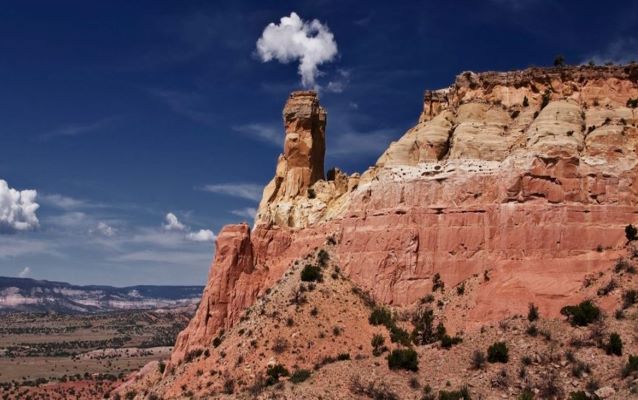
- Ghost Ranch National Natural Landmark
- Enchanted Circle and Turquoise Trail National Scenic Byways
- Rio Grande del Norte and Bandelier National Monuments
- Three National and Historic Trails and Route 66
- Puyé Cliff Dwellings National Historic Landmark
- Pecos National Historic Park
- Mesa Prieta Petroglyphs
- Taos Pueblo UNESCO World Heritage Site
- Palace of the Governors - Santa Fe