Methodology

Spring stake placement
Figure 5.  Spring stake placement using the steam drill.
Methods used to monitor these glaciers follow procedures established by the U.S. Geological Survey during more than 40 years of monitoring South Cascade Glacier, which are similar to methods used to monitor glaciers world wide (Ostrem and Brugman, 1991). In sum, the surface mass balance of these glaciers is monitored using a two-season approach to calculate mass (water) gained and mass lost on a seasonal basis. These glaciers gain most of their mass by surface accumulation of snowfall during the winter, when the park receives approximately three-fourths of its annual precipitation. Likewise, most of the melting (ablation) occurs at the surface, and by monitoring surface changes we account for approximately 90% or more of the annual change of a glacier's mass.


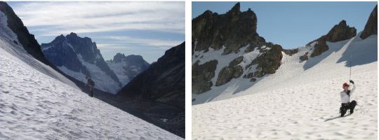
Our methods require us to visit each glacier at least two times annually. In late-April, when the accumulation season is ending, we probe thickness of the snow pack across the surface of the entire glacier. At the same time, we use a backpack-mounted steam drill to melt holes 8-9m into the glaciers (Figure 5). Four to five stakes per glacier are placed in these holes and are used to monitor the amount of the previous winter's snow, as well as underlying firn and ice that melts through the following summer. North Klawatti and Noisy glaciers have five stake stations, while the others have only four stations as a result of size and topographic characteristics. A late September visit is used to measure final melting and remove the stakes (Figure 6, 7). Mid-summer measurements are used to provide additional data on rate and processes of melting (Figure 8). Measurements taken at the stakes are averaged across the entire glacier to determine mass balance.
 
Stake removal
Figure 6.  Fall stake measurements and stake removal on lower North Klawatti Glacier.
We monitor the area of these four glaciers by taking aerial photographs (Figure 1-4) and making detailed large-scale maps every 10 years. Many people have asked why we don't just monitor changes in the area or terminus activity of these glaciers. The reason we don't exclusively monitor area is because glacier movement is a complex process influenced by the steepness of the mountainside a glacier rests on, the absence or presence of water at the base of the glacier, ice thickness, and other factors (Figure 9). Thus, changes in size of a glacier may not give a clear signal of the relationship between the glacier and climate, or allow for the monitoring of more subtle variations. Monitoring glacial melt also allows us to monitor glacial influence on lakes, wetlands and streams. Long-term trends in glacier area were assessed using old maps, moraine mapping, and aerial photographs obtained in 1998.
 
Figure 7 and 8
Figure 7.  Fall probing on Silver Glacier,  Figure 8.  Mid-summer probing on upper Sandalee Glacier.
 
Figure 9 Thumbnail
Figure 9.  Glacier Ecosystem Conceptual Model shows the relationship of monitored glacier characteristics (shaded box) to the surrounding landscape and ecosystem.

Last updated: August 11, 2017

Park footer

Contact Info

Mailing Address:

810 State Route 20
Sedro-Woolley, WA 98284

Phone:

360 854-7200

Contact Us