
NPS photo/Gary Hartley
The New River within New River Gorge National Park and Preserve flows from below Bluestone Dam, near Hinton, West Virginia, to just north of the U.S. Highway 19 bridge near Fayetteville, West Virginia. On its journey through the gorge, the New River passes through an extensive geological formation. Emergent rocks, rock outcrops, trails and coal mines are found to provide diverse habitat producing rich and abundant flora and fauna species. In the gorge, there is typically a 1000 feet difference in elevation between the river bottom and the adjacent plateau. The New River dissects all physiographic provinces of the Appalachian Mountains, and therefore is believed to be a corridor facilitating the movement of southern plant and animal species into West Virginia. In addition to serving as a refuge for some species, New River Gorge provides a geographical barrier that limits the east-west distribution of other species. This portion of southern WV falls within the Mixed Mesophytic Forest Region. Recognized forest types in the three park areas include oak-hickory, mixed oak, oak-maple, oak-yellow pine, hemlock-hardwoods, northern hardwoods, cove hardwoods, and bottomland and floodplain hardwoods.
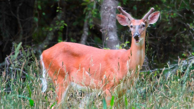
Animals
The New River, the gorge, and the surrounding forests create habitat for a great diversity of wildlife. 
Plants
New River Gorge supports a greater diversity of plant species than any other river gorge in the central and southern Appalachian Mountains. 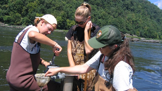
Natural Resource Monitoring
Learn more about natural resource monitoring at New River Gorge National Park and Preserve. 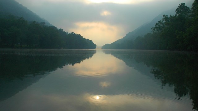
Climate Change
Learn about the effects of climate change at New River Gorge National River. 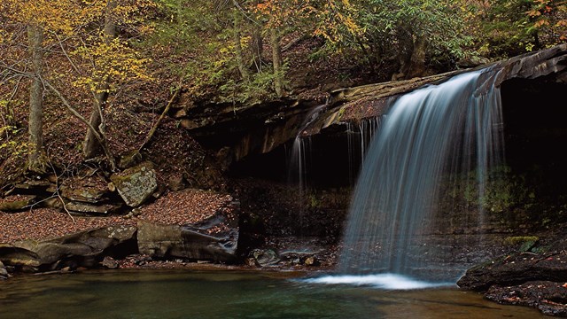
Environmental Factors
Learn about how our resource management staff works to manage water resources, wildlife, vegetation, invasive species, and air quality. 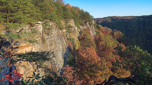
Natural Features and Ecosystems
Learn more about the geology, the river, and the forest communities of New River Gorge. 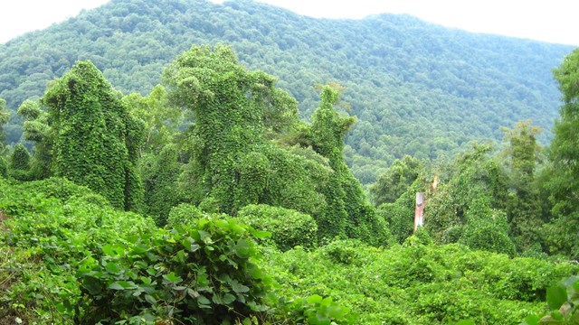
Invasive Species
Learn more about the invasive species that threaten ecosystems in the park. 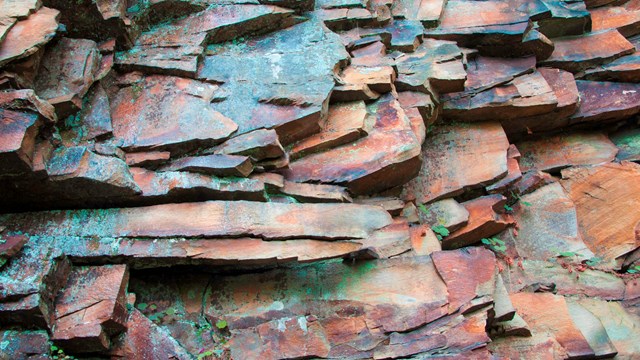
Geology
Find out more about how the New River carved one of the longest and deepest gorges in the Appalachian Mountains. 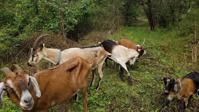
Resource Management Minutes
Learn about what our resource management staff is up to through a series of short videos. 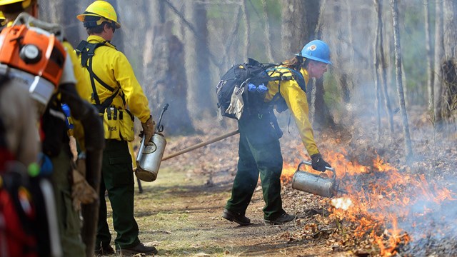
Prescribed Fire
Learn about how the fire management team at New River Gorge uses fire as a management tool. |
Last updated: January 27, 2021