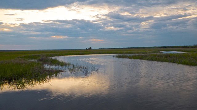
The Conservation and Outdoor Recreation Division (COR) provides the National Park Service and local communities across the country with cost effective, partnership-based support in achieving America’s conservation and outdoor recreation goals.
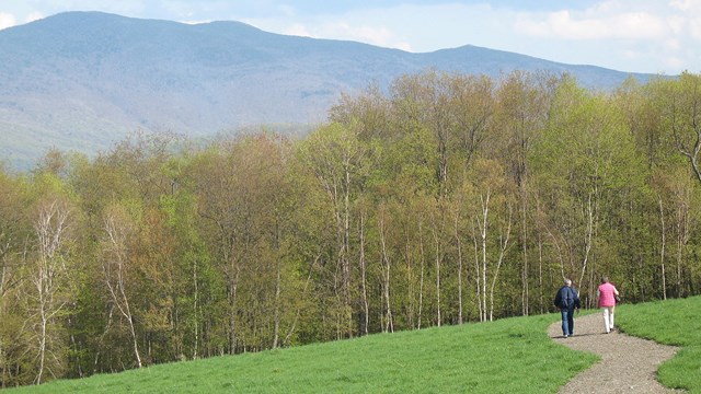
The Congressionally authorized programs that the Conservation and Outdoor Recreation Division oversees provide local and regional communities with technical assistance in conserving lands and waters and developing close to home outdoor recreation opportunities. The COR programs also assist managers and their partners of National Parks, National Scenic and Historic Trails, and Wild and Scenic Rivers with resource management, stewardship, public access and outdoor recreation challenges.
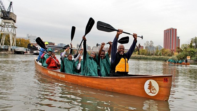
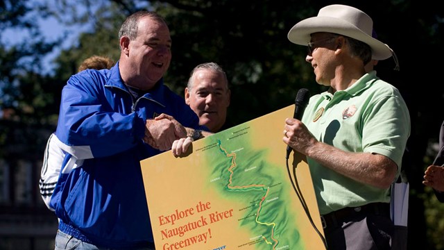
Collectively, these NPS programs positively touch the lives of tens of millions of Americans each day, engage tens of thousands of youth and volunteers each year and offer impressive array of technical and limited financial assistance that has improved the quality of life of thousands of urban and rural communities.
Conservation and Outdoor Recreation Division embody public/private partnership models for 21st Century conservation that demonstrates a relevant, expanded, nimble and effective role for the NPS to contribute and extend the agency's benefits within and beyond park boundaries. Our staff offers opportunities to direct and align Federal support for local and regional goals while simultaneously improving park coordination and collaboration with communities.