
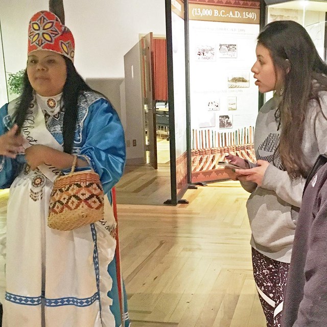
NPS image Choctaw 
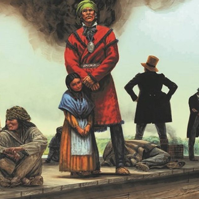
public domain Fierce warriors, during the early 1700s the Choctaw people allied with European forces, often aiding in battles against other American Indian groups. Alliances with Europeans provided a measure of security to the tribes during a rapidly changing cultural landscape. The French were one of the first European groups to ally with the Choctaw, and in the early 1700s their combined forces decimated the Natchez Indians, killing most of them and forcing the rest to flee their homelands and join other tribes. Removal With the influx of American colonizers settling in the Southern United States, American Indian peoples were soon displaced from their homelands, sometimes by treaties and political manipulation, and other times by force. In the 1801 Treaty of Fort Adams, Choctaw chiefs were persuaded to cede over 2 1/2 million acres of land. Several other treaties an additional 23 million acres. The Treaty of Dancing Rabbit Creek was the last treaty, the precursor to the Indian Removal of the following decade. Although hundreds of petitions flooded Washington D.C. claiming this Indian Removal Act was immoral, destructive, and wrong. President Andrew Jackson and the US Congress passed the act, forcing the Choctaw and other tribes, to relinquish their homelands completely, and move westward. The act passed the House in May 1830, by only five votes. The Choctaw walked this long journey from Mississippi to Oklahoma, a harsh trek that killed many along the way. The first American Indian tribe to be removed to Oklahoma, the Choctaw suffered greatly. Roughly 70,000 people were forced out of the region and at least 3,000 lost their lives on the march. This forced walk is now commemorated as the Trail of Tears.
|
Last updated: May 3, 2024