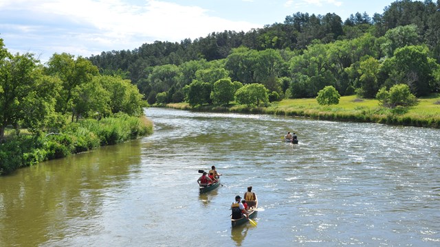
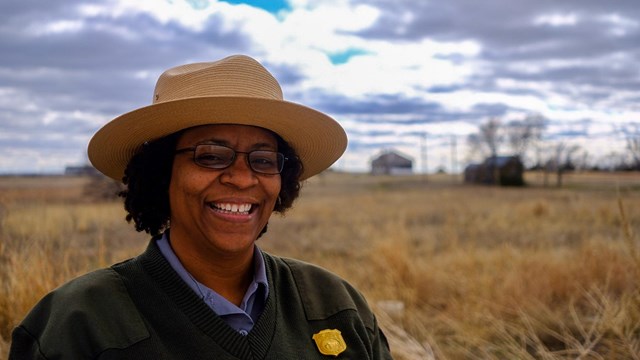
|
![[graphic] Phase 1 Study [graphic] Phase 1 Study](graphics/docs.gif)
Lincoln Highway Special Resource Study/ Environmental Assessment
The Lincoln Highway Special Resource Study/ Environmental Assessment
is now complete and was submitted to Congress on August 23, 2005. The final study consists of the draft released in summer of 2004 augmented by an addendum containing three documents: Responses to public comments on the draft, an Errata Sheet, and the Finding of No Significant Impact that concludes the Environmental Assessment.
Phase 1 Study
A preliminary inventory of
the Lincoln Highway and its cultural resources
|
Lincoln Highway News
|
|
Three
rotating photographs depict:
1) The early Lincoln Highway was the "Main Street of America"
bringing a sense of identity and connectivity to the small downtowns
it passed through. Towns like Lisbon, Ohio, readily changed the name
of their main street to "Lincoln Way."
2) The skewed Narrows Bridge built in 1935 to carry the Lincoln Highway
over the Juniata River east of Bedford, Pennsylvania, is currently
the focus of a rehabilitation and preservation project.
3) The
Lincoln Highway followed MacArthur Boulevard through the suburbs of
Oakland, California, past such stellar examples of streamline modernity
as the Motel Harris.
All photos courtesy of Kevin Patrick
![[graphic] Map of Lincoln Highway route, which is a link to more maps [graphic] Map of Lincoln Highway route, which is a link to more maps](graphics/footer.jpg)
For
more maps click on image above
Background
| Project Timeline | FAQ's
| Press Room | Documents
| Contact Us | Related
Links
LH SRS Homepage
| National Park Service
Comments
or Questions
Privacy & Disclaimer
[an error occurred while processing this directive]
SEB
|