
Hiking Safety
No matter the length of your hike, being aware of risks can help make your hiking experience safe and enjoyable! 
Wildlife Safety
The park is home to a diversity of animals, including potentially dangerous large mammals like black bears and mountain lions. 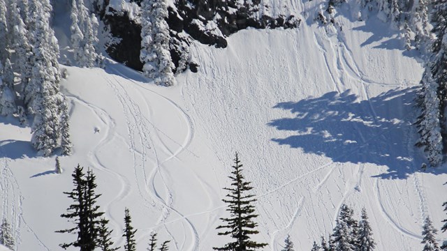
Winter & Snow Safety
Winter can show you a different side of the park, but it also involves extra safety considerations such as the risk of avalanches. 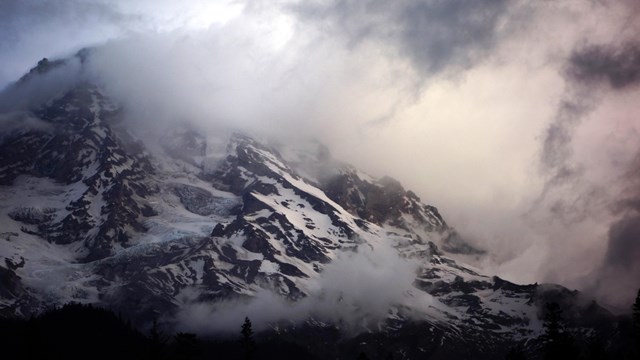
Weather
The weather can change quickly at Mount Rainier, from calm to stormy and back again. Check the weather to prepare for a safe visit. 
Geohazards
Mount Rainier is an active volcano. Learn more about debris flows and other geologic hazards of this unusual environment. 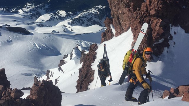
Climbing
Scaling the heights of Mount Rainier can be exciting as well as technically and physically demanding. Prepare for a safe climb. 
Spring Hiking Safety (April-June)
It's easy to underestimate the hazards of hiking at higher elevations still covered in snow. Follow these tips for safely hiking on snow. 
Bicycling Safety & Regulations
Safety guidelines and regulations when bicycling in Mount Rainier National Park. 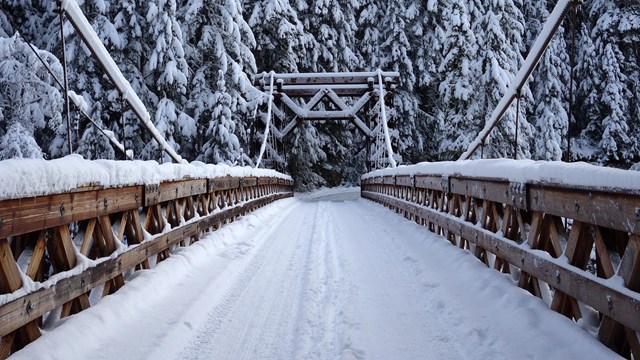
Winter Travel
Be prepared for winter travel, when roads can be closed or have quickly changing conditions. 
Keep Wildlife Wild
Do not feed park animals to keep yourself safe and the wildlife wild. Alerts & ConditionsInformation about current conditions, temporary closures, and other advisories. Don't Be a Victim!Each year, auto burglaries occur in this region at trailheads and parking areas both inside and outside the park. Many items are stolen from visitor's vehicles, including credit cards and personal identification, which often lead to cases of identity theft and other hardships for the victims. Park Rangers investigate and follow up these cases to the full extent of the law, however not all stolen property is recovered, and repairs to vehicles that have been burglarized may cost hundreds of dollars. The individuals responsible for these crimes have been successfully caught and convicted in the park, however, this type of crime can and will continue to occur. To avoid becoming a victim of future car break-ins, visitors to Mount Rainier and surrounding areas should continue to take precautions by not leaving any valuables in their cars while in the park. Follow these simple guidelines:
|
Last updated: August 27, 2024