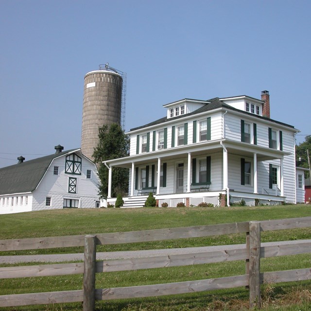
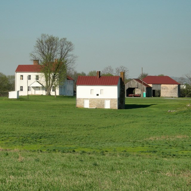
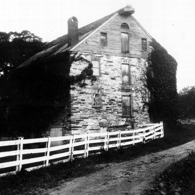
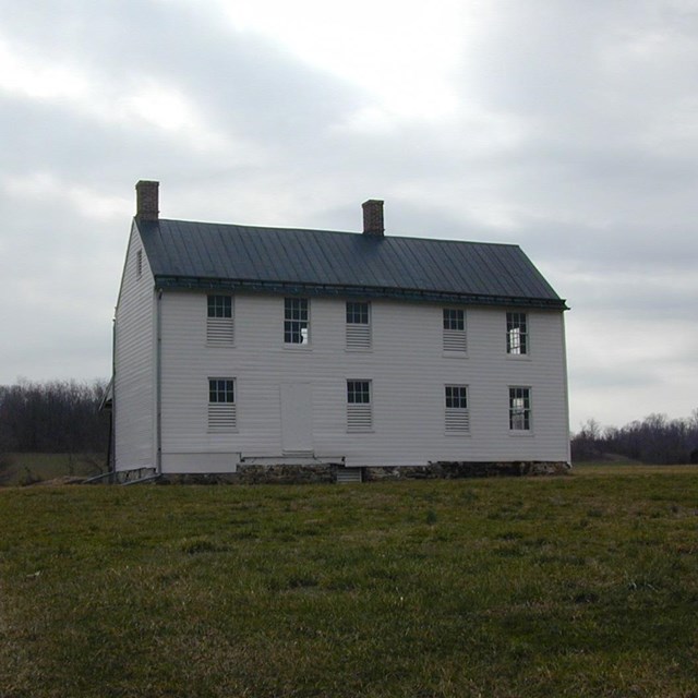
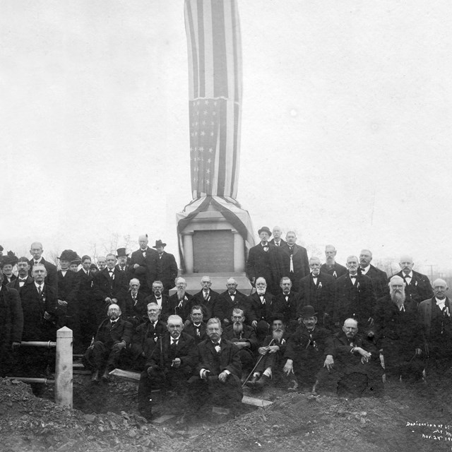
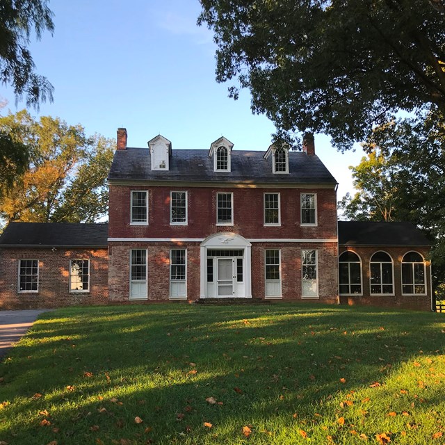
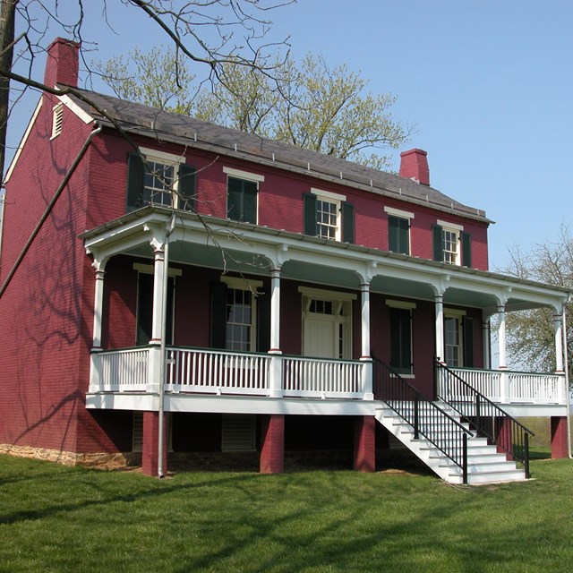
National Park Service LogoU.S. Department of the InteriorNational Park ServiceNational Park Service
National Park Service:  U.S. Department of the InteriorNational Park Service Arrowhead
Monocacy National BattlefieldLiving Historians at Monocacy National Battlefield
view map
text size:largestlargernormal
printer friendly
Monocacy National Battlefield
Places
Monocacy National Battlefield Component Properties

Monocacy National Battlefield comprises 1,647 acres of farmland, forest and riparian areas a few miles south of Frederick, Maryland in the Monocacy River valley. The park encompasses six component properties including the Baker, Best, Lewis, Thomas, and Worthington Farms, as well as the Gambrill Mill and House. The architectural styles of the structures in the park exhibit the variety of cultural traditions associated with agriculture in western Maryland. Dwelling houses, forebay barns, the unique stone barn on the Best Farm (L'Hermitage) and the Georgian style of the Thomas Farm (Araby) main house all reflect the mix of Pennsylvania German, French, Caribbean, and Tidewater English influences on the area.

The map at left shows the tracts in relation to each other within the park. For further details, follow the links above.

Did You Know?  

Did You Know?
White-tailed deer are found in abundance on the battlefield. The rising population of deer has an intense affect on the herbaceous and woody plants found within the park, and several studies have recently been conducted on the effects of the overpopulation of deer.
more...

Last Updated: July 25, 2006 at 00:29 EST