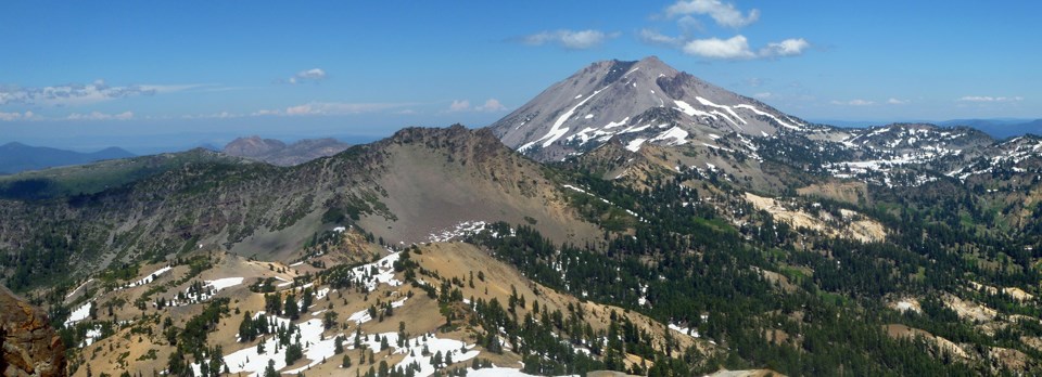
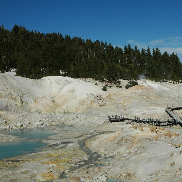
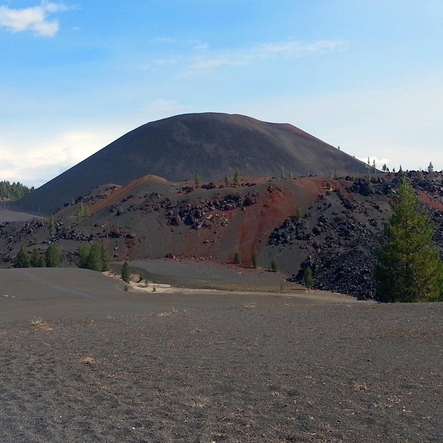
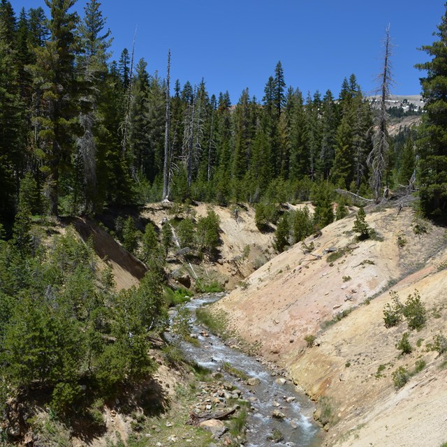
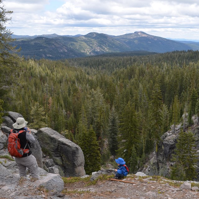
• Lassen Peak from Hat Creek

    Lassen Volcanic

    National Park California

There are park alerts in effect.
show Alerts »
  • Road through the park is closed

    Park highway (HWY 89) is currently being cleared of snow, debris, and rocks. Anticipated opening for Memorial Weekend. More »

  • Park highway under construction near Sulphur Works

    Road crews are working to repair the road near Sulphur Works hydrothermal area. Road will be closed at the Kohm Yah-mah-nee Visitor Center during the week, and open to Sulphur Works on the weekends.

Natural Features & Ecosystems

Nature and Science

Bumpass Hell hydrothermal area

Lassen Volcanic National Park covers 165 square miles or about 106,000 acres, located in Lassen, Shasta, Plumas and Tehama counties on the southern edge of the Cascade Range in northern California. Nearly 79,000 acres in the park are designated as wilderness area. Lassen Volcanic National Park receives fewer than 400,000 visitors per year. Cinder Cone National Monument and Lassen Peak National Monument were established by proclamation of Theodore Roosevelt on May 6, 1907 to be administered by the U.S. Forest Service. Volcanic eruptions from Lassen Peak in 1914 and 1915 resulted in national publicity. The two monuments and surrounding areas were included in Lassen Volcanic National Park, established in 1916, administered by the National Park Service of the Department of the Interior.

Did You Know?

View of devastated area from Main Park Road.

The 29 mile Main Park Road was constructed between 1925 and 1931, just 10 years after Lassen Peak erupted.  Near Lassen Peak the road reaches 8512 feet, making it the highest road in the Cascade Mountains.  It is not unusual for 40 feet of snow to accumulate on the road near Lake Helen.