An official website of the United States government
Here's how you know
Official websites use .gov A
.gov website belongs to an official government
organization in the United States.
Secure .gov websites use HTTPS A
lock (
) or https:// means you've safely connected to
the .gov website. Share sensitive information only on official,
secure websites.
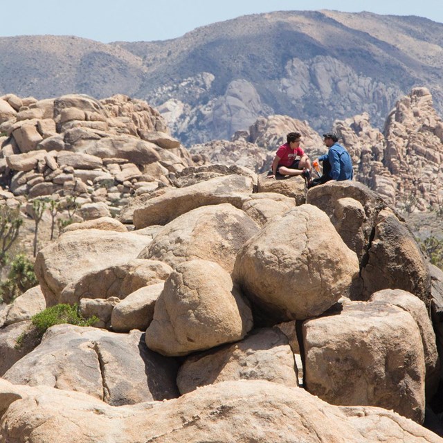
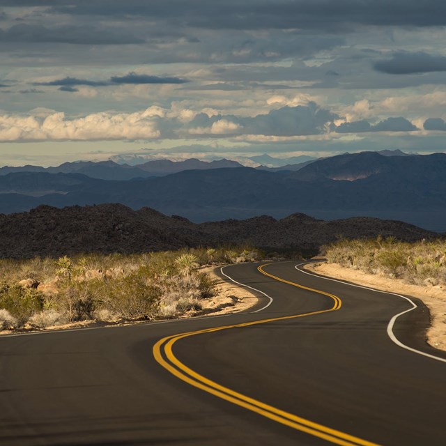
Visit one of the many parks within a day's drive from Joshua Tree.
Be Prepared
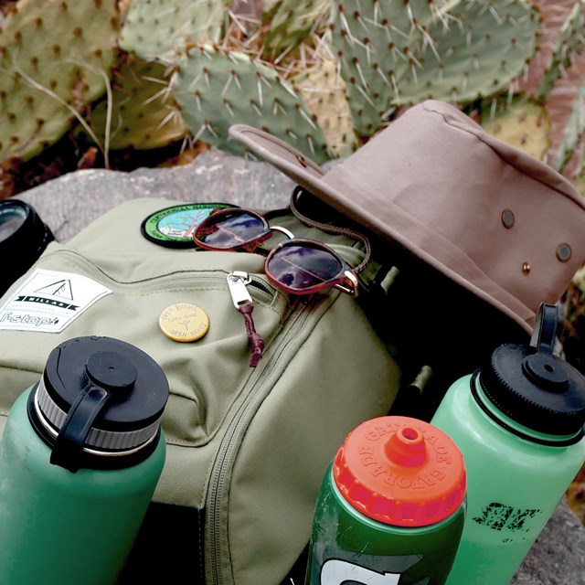
Though beautiful, the desert environment can be harsh and unforgiving. Preparedness is critical for your safety. Please remember the following when planning your trip.
There are no gas stations, restaurants, grocery stores, or hotels. Bring all your own food, water, and supplies.
There is no water available in the interior of the park.
Cell phone reception is very limited.
The park is open 24 hours a day, 7 days a week, 365 days a year. You are welcome to drive in and out at any time.
Springtime and holidays are the busiest times of the year and the park can be very crowded.
On hot days, avoid hiking during the hottest part of the day, take shade breaks, and carry plenty of water. In the summertime, extreme heat poses a very serious safety risk.
Help Protect the Park
While the rangers help take care of the park, we rely on visitors to be good stewards and help take care of the place for future generations.
While visiting, leave only footprints and take only pictures. Do not take any plants, rocks, or cultural artifacts with you.
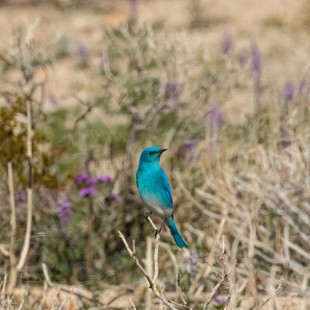
Give the wildlife space, and don’t feed them. Secure your food and trash from animals, and don't leave any garbage or food scraps behind.
Be considerate of others. Share the trail and be conscious of your noise level. Flying drones is prohibited.
To protect your pet and the native wildlife, pets are not allowed on the trail.
Campfires are allowed only in designated fire rings in campgrounds. Do not use park vegetation, living or dead, for fuel. When finished, completely extinguish your fire.
Please respect the speed limits. They are lower in National Parks to help protect wildlife, like the federally-threatened desert tortoise.
Graffiti is illegal. Please e-mail us to report incidents of graffiti.
Vehicles, street-legal motorbikes, and bicycles must remain on designated roads. They are not allowed on trails or off designated roads. ATVs, UTVs, OHVs, and dirt/motocross bikes are prohibited.
Firearms may be possessed in accordance with California state and federal laws. However, they may not be discharged in the park. Fireworks, traps, bows, BB guns, paintball guns, smoke bombs, and slingshots are not allowed.
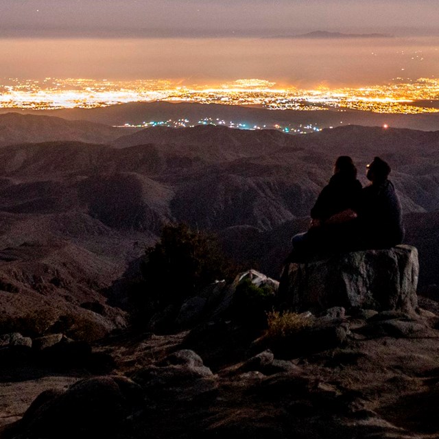
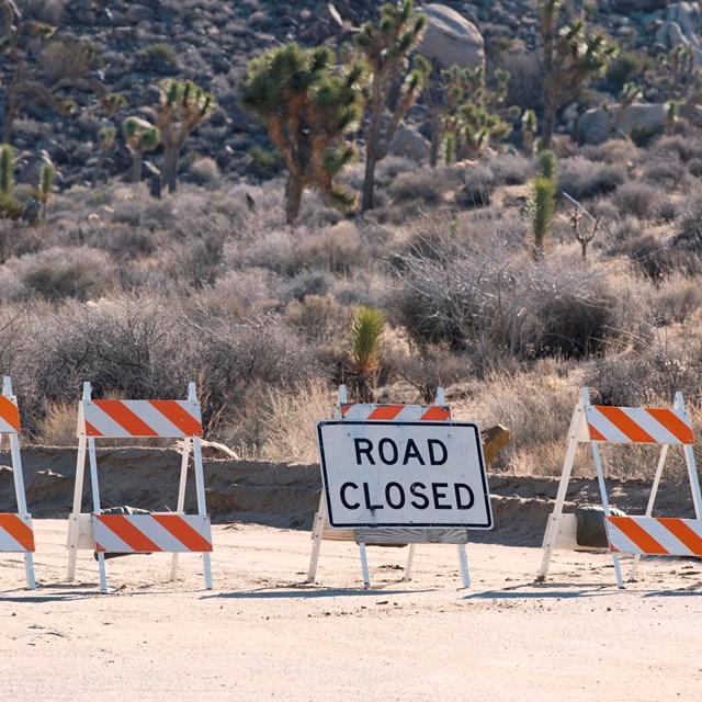
Current Conditions
Check out our current conditions webpage for information on closures, alerts, air quality, and the weather forecast. You can also see a live view of the park from the summit of Belle Mountain.
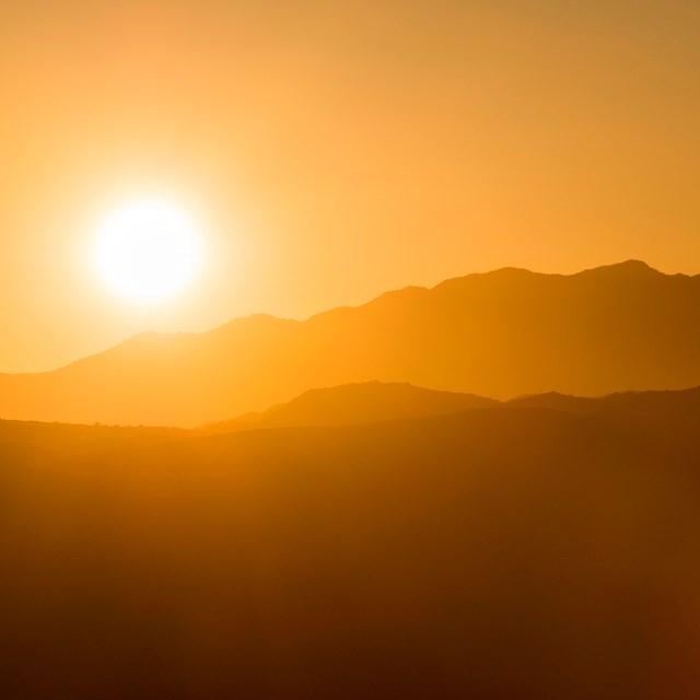
Joshua Tree weather can range from blistering hot to freezing cold and can include gale-force winds, heavy rain, and snow. Knowing the forecast is an important part of preparing for your visit. The weather can change swiftly and dramatically, and can vary greatly depending on your exact location within the park. Remember, your safety is your responsibility.
Last updated: September 16, 2025
Park footer
Contact Info
Mailing Address:
74485 National Park Drive
Twentynine Palms,
CA
92277-3597