Welcome to the Gulf Coast Network
The Gulf Coast Network is one of thirty-two Inventory and Monitoring networks nationwide. The network monitors natural resources in eight national parks, which span from the western third of Florida, across all of Mississippi, Louisiana, and the southeastern quarter of Texas, and then up through the northwest corner of Alabama to Nashville, Tennessee.
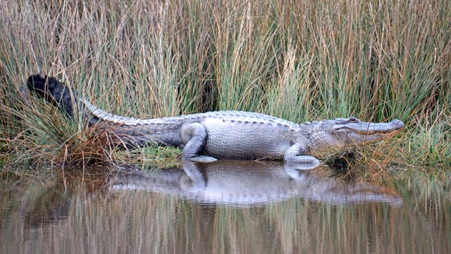
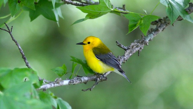
Habitats in the network's parks include barrier islands and seashores, coastal fresh to brackish marshes, bottomland hardwoods, cypress-tupelogum swamps, Mississippi River alluvial floodplain and loessal bluffs, rolling hill country and pastures, and the dry scrub/grasslands of Edwards Plateau. To see some of the amazing plants and animals that live in the Gulf Coast Network region, follow this link to our biodiversity photo gallery.
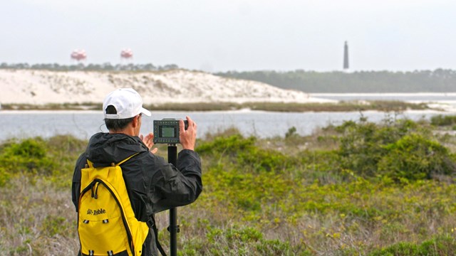
This site describes what the Gulf Coast Network does and the park resouces that it monitors. This site is also a portal for study results, data, and related analyses. Park managers use the information provided by their I&M networks to help them make good, science-based management decisions that will sustain the health of our parks, both now and for future generations.