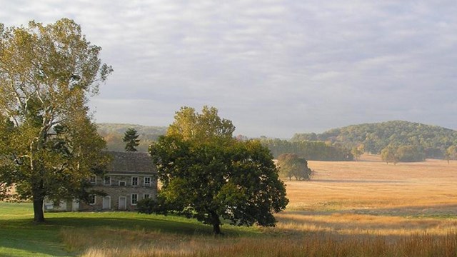
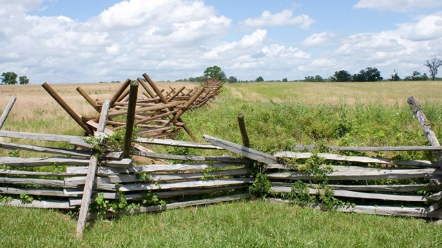
Historic battlefields and sites of armed conflict are powerful reminders of the shared heritage of all Americans. To learn and heal from the past, the National Park Service’s American Battlefield Protection Program promotes the preservation and interpretation of these important places.
To support community-driven stewardship of historic resources, NPS ABPP administers four grant opportunities: Preservation Planning, Battlefield Land Acquisition, Battlefield Restoration, and Battlefield Interpretation grants. To learn more about the application process and specific eligibility requirements, explore our grants offerings below.