
NPS Photo 
Want to view the Crater of Haleakalā and explore volcanic geology?
Global Positioning System address: 30,000 Haleakalā Hwy, Kula, HI 96790 Looking to explore waterfalls and a bamboo forest? Global Positioning System address: Mile Marker 41 Hana Hwy, Hana, HI 96713 Gas and Charging 

Left image
Right image

NPS Photo Watch for WildlifeSeveral native and non-native bird species call Haleakalā home and are often seen in parking lots and in roadways, day and night. Some of these birds are endangered, endemic and only found at the summit of Haleakalā! Help us protect them by:
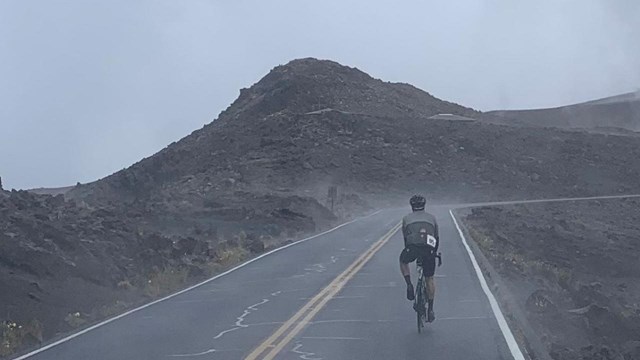
Bicycling Information
Plan ahead and prepare for a cycle to the summit 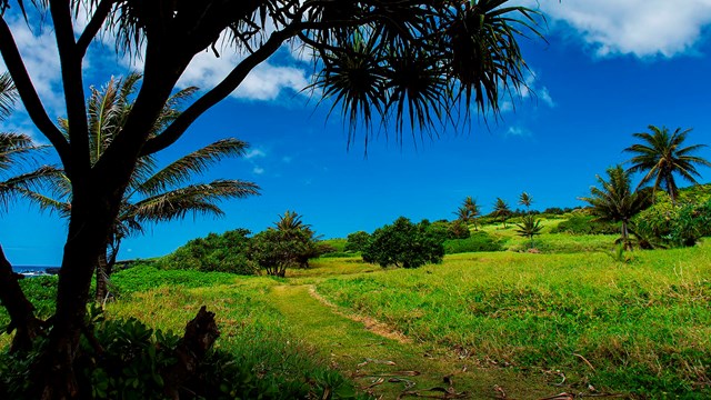
Maps
Explore park and trail maps |
Last updated: July 27, 2022