
NPS Photo A backpacking trip in Guadalupe Mountains National Park can be an exciting and rewarding experience if you are prepared. Prior planning and decision making will ensure that you are prepared for the trip. Preparing for your Backpacking Trip in the Guadalupe Mountains:
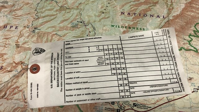
Wilderness Use Permits
Wilderness Use Permits are required for backpacking overnight and may be obtained in-person or by advanced reservation. 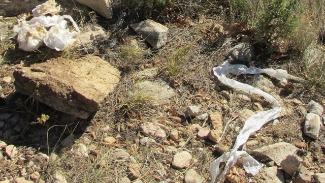
Human Waste in the Wilderness
Nothing can spoil a hike as quickly as the discovery of toilet paper. Always use the restroom before hiking. Pack out your toilet paper. 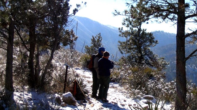
Preparation and Safety
Knowledge and preparation can increase your comfort level and reduce your chances of injury while in the Wilderness 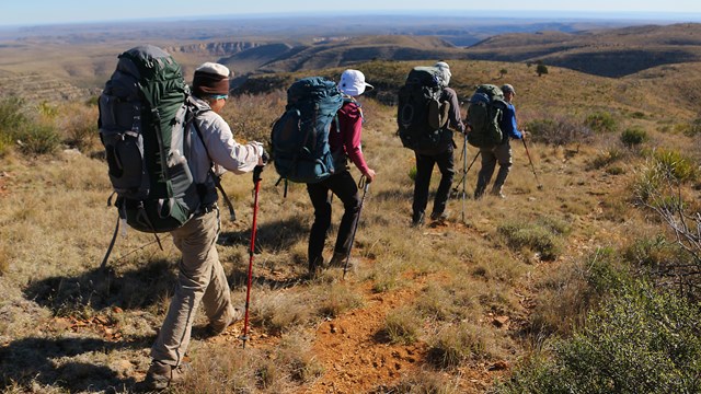
Backpacking Groups
To protect park resources, special restrictions apply when bringing groups to camp overnight in the Wilderness. 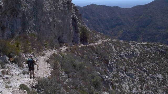
Suggested Itineraries
Still not sure about what route to take? Check out these ranger favorites! 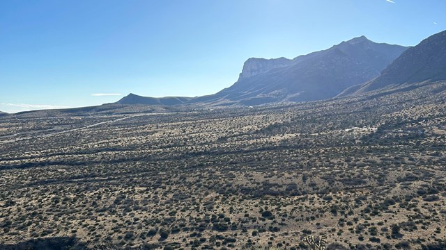
Hiking off-trail
Any person or persons planning to hike off trail in the park must obtain an off-trail hiking permit before they attempt the hike. 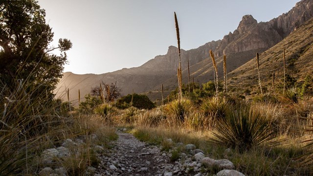
Trail Descriptions
A network of trails throughout the park provides many opportunities to explore and find your challenge. 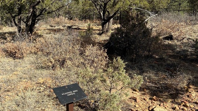
Wilderness Campgrounds
Backpackers can choose from 10 designated campgrounds when planning a trip in the Guadalupe Mountains Wilderness. 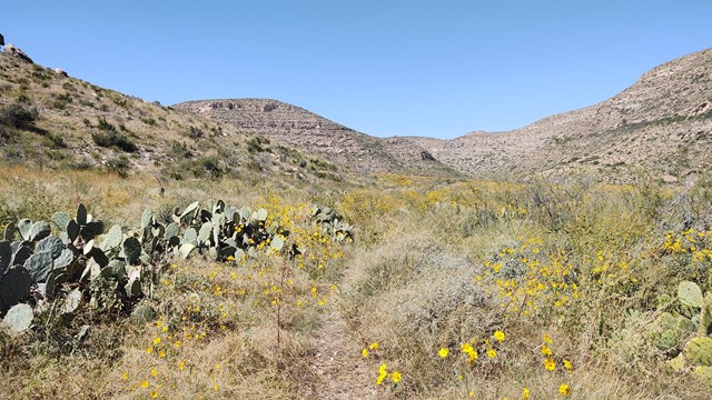
Guadalupe Ridge Trail
This strenuous route traverses 100 miles through Carlsbad Caverns National Park, Lincoln National Forest, ending at Guadalupe Peak. |
Last updated: December 3, 2024