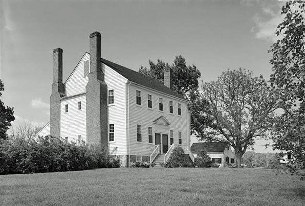
Courtesy of Library of Congress 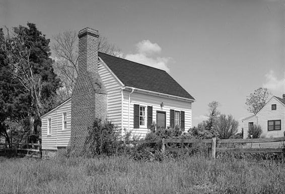
Courtesy of Library of Congress
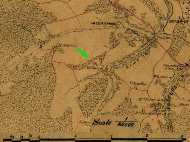
(Click on any brown links below map, for historical information about this property.)
|
Last updated: May 6, 2019
|
Courtesy of Library of Congress
Courtesy of Library of Congress
(Click on any brown links below map, for historical information about this property.)
|
Last updated: May 6, 2019