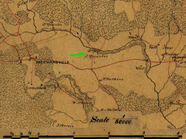
National Park Service LogoU.S. Department of the InteriorNational Park ServiceNational Park Service
National Park Service:  U.S. Department of the InteriorNational Park Service Arrowhead
Green Springs National Historic Landmark District ??? in Green Springs
view map
text size: largest larger normal
printer friendly
Green Springs National Historic Landmark District
Belle Monte
(Click on map for its magnification. Click on any brown links below map, for historical information about this property.)
 
Belle Monte
Belle Monte and immediate neighborhood, 1863. North at top. Detail from Department of Northern Virginia, Chief Engineer’s Office, “Map of Louisa County Virginia from Surveys by B. L. Blackford Assist:Engr C. S. A. … 1863,” Library of Congress, Washington, D. C.
 

You are exiting the National Park Service website

Thank you for visiting our site.

You will now be redirected to:

We hope your visit was informative and enjoyable.

Flower

Did You Know?
Green Springs National Historic Landmark District is privately owned, includes no public facilities, but is visible from public highways. It sits astride Route 15 in Louisa County, Virginia.

Last Updated: July 04, 2007 at 13:26 MST