|
NPS/Everitt
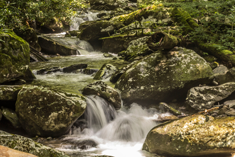
Contact: Dana Soehn, (865) 436-1207 Contact: Brent Everitt, (865) 436-1203 Great Smoky Mountains National Park geographic information system specialists and scientists in collaboration with scientists from Tennessee, North Carolina, and the United States Geological Survey (USGS), completed a three-year stream mapping project. Park scientists used a combination of aircraft-mounted scanners and a Global Positioning System verification system to re-inventory streams throughout the park. Using this modern mapping technology, scientists determined the park contains 2,900 miles of streams. Of these, 1,073 miles of streams are large enough to support fish. Previously, using topographic maps, the scientists estimated there to be approximately 2,000 miles of streams in the park. A water feature is considered a stream if it exhibits the hydrologic, geomorphologic, and biologic characteristics of moving water at least part of the year. Working with the USGS, the park incorporated the new stream data into the National Hydrography Dataset (NHD) which allows the researchers and the public real-time access to detailed information about streams across the nation. Park staff and research partners rely heavily upon the accurate information in the NHD to manage park water quality and aquatic ecosystem health. |
Last updated: December 8, 2023