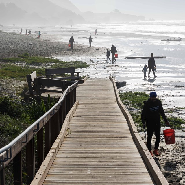
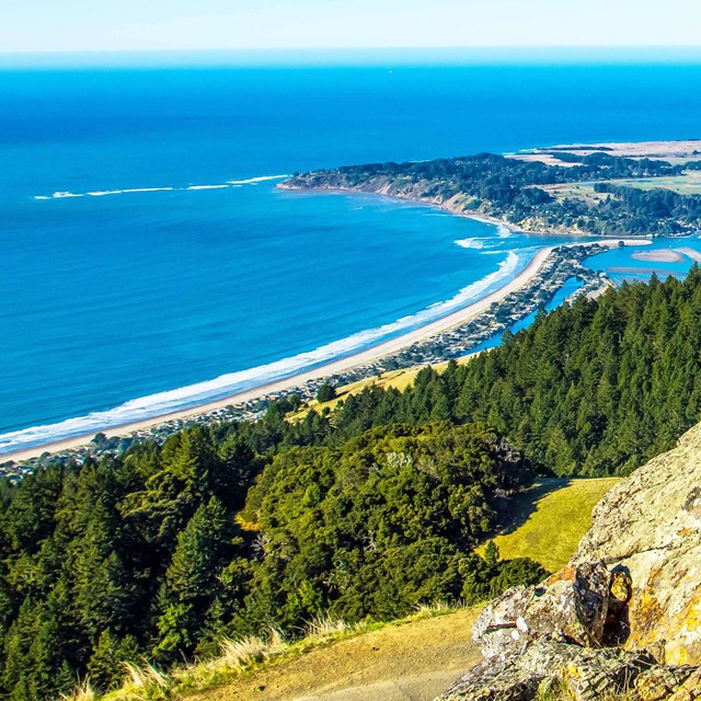
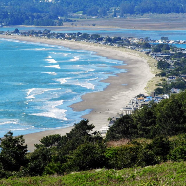
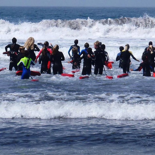
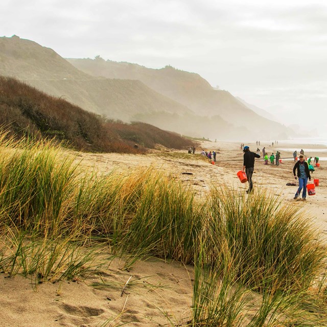
National Park Service LogoU.S. Department of the InteriorNational Park ServiceNational Park Service
National Park Service:  U.S. Department of the InteriorNational Park Service Arrowhead
Golden Gate National Recreation Area View of Stinson Beach
view map
text size: largest larger normal
printer friendly
Golden Gate National Recreation Area
Stinson Beach
 

Visitors to Stinson Beach experience the pleasures of this quiet beach community. Whether hiking, enjoying a picnic, exploring the town, or relaxing on the beach, people continue to find Stinson Beach a great place to escape from the frantic pace of everyday life, just as it has been for over a century.

Stinson Beach is open year round every day. The entrance gates open at 9:00 a.m. Closing times vary depending on season. Check the posted sign when you enter the parking lot.

Facilities

Stinson Beach facilities include rest rooms, showers, picnic areas, and BBQ grills. A snack bar is open during summer months at the base of the main lifeguard tower. Rest rooms are located along the beach adjacent to each of the parking areas. The shower (cold) is located at the central rest room building. Picnic facilities are available on first-come, first-serve basis.

Rules and Regulations

• Pets are not allowed on the National Park Service section of the beach
• Dogs are allowed on leash in the parking lot, picnic areas, and on the county beach
• Alcohol is permitted if you are over 21
• No kegs or glass containers of any type are allowed on the beach
• Fires are permitted in designated spots in the picnic area only
• No fires or grills are allowed on the beach
• Inner tubes and motorized recreational equipment are prohibited in swimming areas
• Fishing is permitted under California Fish and Game Guidelines
• Permits are required for large groups and special events
• Camping is not permitted

Safety

Swimming is only recommended from late May to mid-September when lifeguards are on duty. Watch your children and keep them in reach at all times. Never turn your back on the ocean. Unexpected large waves, called sneaker waves, can wash farther up the shore than expected. People entering shallow water can be caught in rip currents and quickly pulled out into deep water. Rip currents are strong, swift-moving channels of water rushing from the shore out to sea. If you are caught in a one: stay calm and swim parallel to the beach until you are out of the current, then swim toward the shore with incoming waves. If you need assistance, wave your arms and yell for help.

Be aware of the potential for sharks close to shore in shallow water. Attacks have occurred here.

Directions

Stinson Beach is located about 20 miles north of the Golden Gate Bridge. From US 101 exit at the Mill Valley/Stinson Beach/Highway 1 exit. Signs will guide you to Stinson Beach. The road is steep and winding; vehicles over 35 feet long are not advised.

Marin Transit also provides rural transit service seven days a week to Stinson Beach with the West Marin Stagecoach. For more information on routes and schedules, please visit their website at:  www.marintransit.org/stage.html


For More Information

Information and Weather
(415) 868-1922

Lifeguard Tower
(415) 868-0942

Muir Woods National Monument
(415) 388-2596

Pantoll Ranger Station
(Mt. Tamalpais State Park)
(415) 388-2070

Golden Gate Transit
(415) 455-2000

Special Park Uses Office (Permits)
(415) 561-4300

Surfer's Grill
(415) 868-1777
www.surfersgrill.com

Note: Parking lot cars left in the parking lot after closing will be ticketed. If you are unable to remove your vehicle please contact a ranger or leave a note on the windshield and notify park dispatch.

Stinson Beach brochure

Thumbnail of one of our publications, "Under Three Flags". Follow this link for more brochures.
Park Brochures
Download a copy of our brochures to plan your visit.
more...
Golden Gate National Parks Conservancy
Visit Stinson Beach
Find out more about visiting Stinson Beach and learn what other opportunities are available through the Golden Gate National Parks Conservancy, partner of the GGNRA.
more...

You are exiting the National Park Service website

Thank you for visiting our site.

You will now be redirected to:

We hope your visit was informative and enjoyable.

Tectonic decal of San Andreas Lake

Did You Know?
The tectonic forces that formed San Andreas Lake, in San Mateo County, are similar to those that formed Loch Ness in Scotland, the home of "Nessie," the rumored Loch Ness monster.

Last Updated: June 02, 2011 at 08:11 MST